Himalayan Mixed Forests & Grasslands bioregion
The bioregion’s land area is provided in units of 1,000 hectares. The conservation target is the combined Global Safety Net (GSN1) areas for the component ecoregions. The protection level indicates the percentage of the GSN goal that is currently protected on a scale of 0-10. N/A means data is not available at this time.
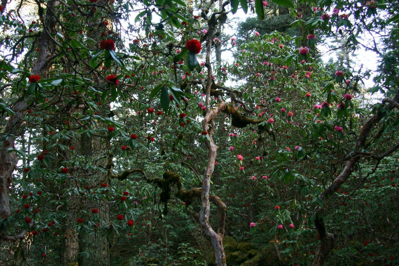
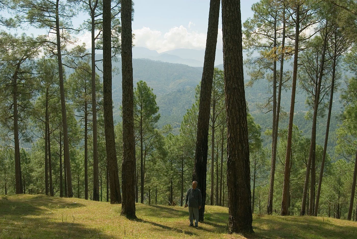
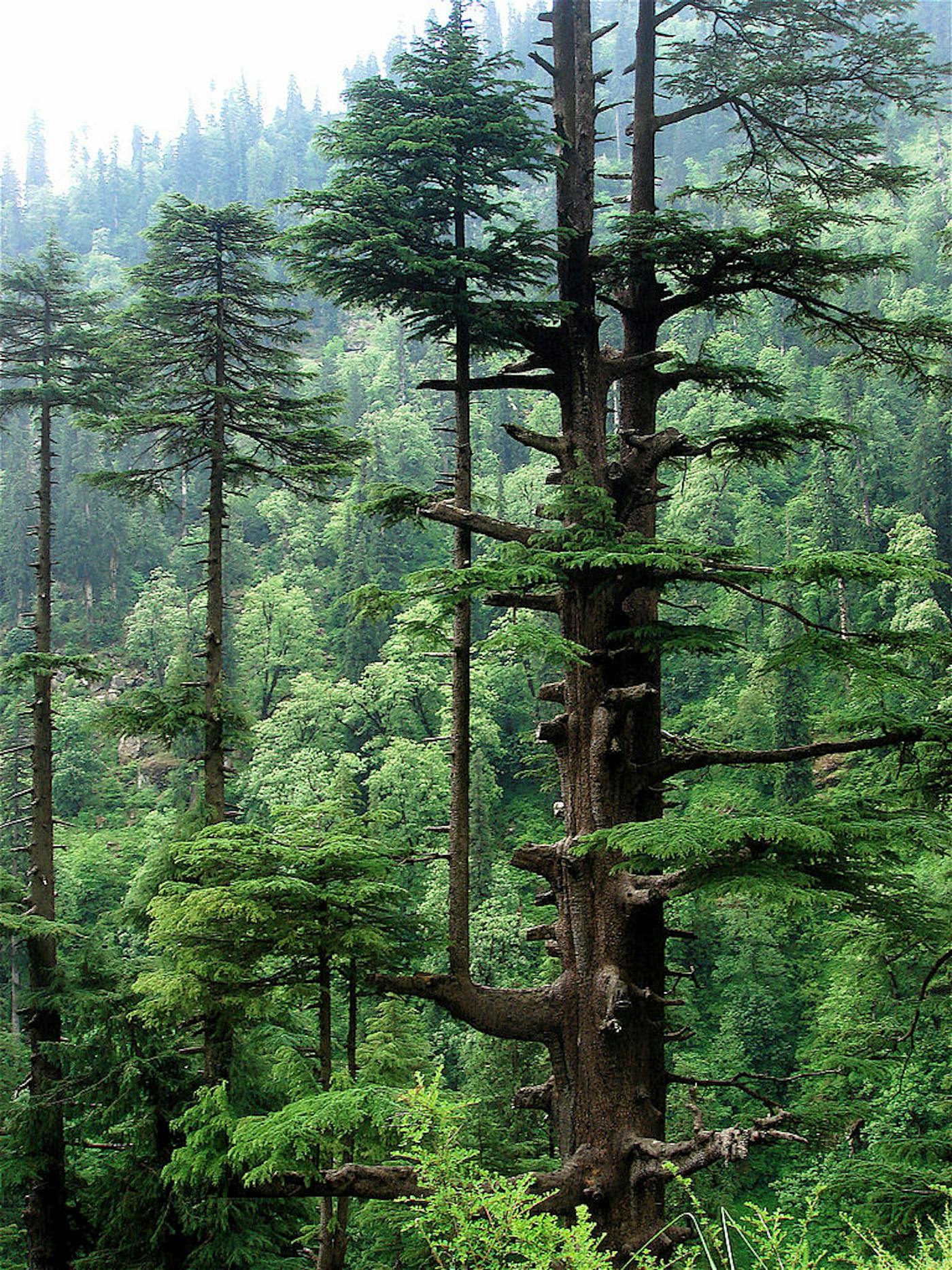
The Himalayan Mixed Forests & Grasslands bioregion is located at the very top of the Indian Subcontinent subrealm in Indomalaya and contains seven ecoregions—Himalayan Subtropical Broadleaf Forests (233), Himalayan Subtropical Pine Forests (302), Eastern Himalayan Broadleaf Forests (306), Western Himalayan Broadleaf Forests (308), Eastern Himalayan Subalpine Conifer Forests (309), Western Himalayan Subalpine Conifer Forests (310), Terai-Duar Savanna and Grasslands (311)—totaling approximately 35.5 million hectares of land area.
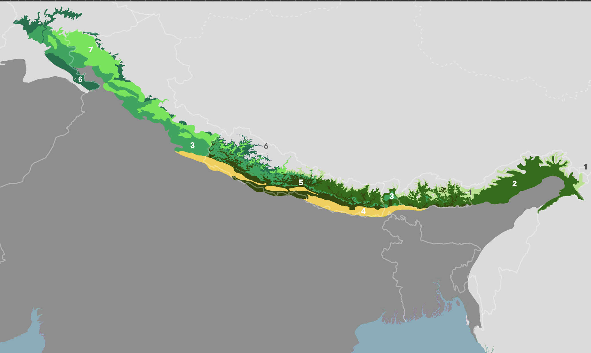
The Himalayan Mixed Forests & Grasslands bioregion is part of the Indian Subcontinent subrealm and is made up of seven ecoregions: Eastern Himalayan Subalpine Conifer Forests [1], Eastern Himalayan Broadleaf Forests [2], Himalayan Subtropical Pine Forests [3], Terai-Duar Savanna and Grasslands [4], Himalayan Subtropical Broadleaf Forests [5], Western Himalayan Subalpine Conifer Forests [6], Western Himalayan Broadleaf Forests [7].
Learn more about each of the Himalayan Mixed Forests & Grasslands ecoregions below.


Subscribe to receive monthly updates on climate solutions, environmental heroes, and the profound beauty and wonder of our shared planet Earth.
Explore the Bioregions
Want to learn more about the fascinating species, diverse ecosystems, and natural wonders of the Earth? Click the button below to launch One Earth's interactive navigator and discover your Bioregion!
LAUNCH NAVIGATOR