Sulawesi, Maluku & Banda Sea Islands bioregion
The bioregion’s land area is provided in units of 1,000 hectares. The conservation target is the combined Global Safety Net (GSN1) areas for the component ecoregions. The protection level indicates the percentage of the GSN goal that is currently protected on a scale of 0-10. N/A means data is not available at this time.
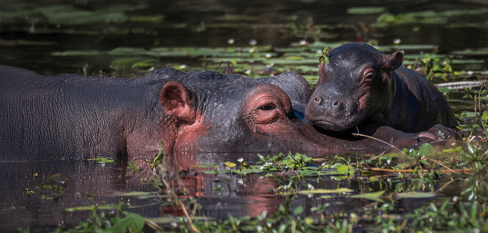
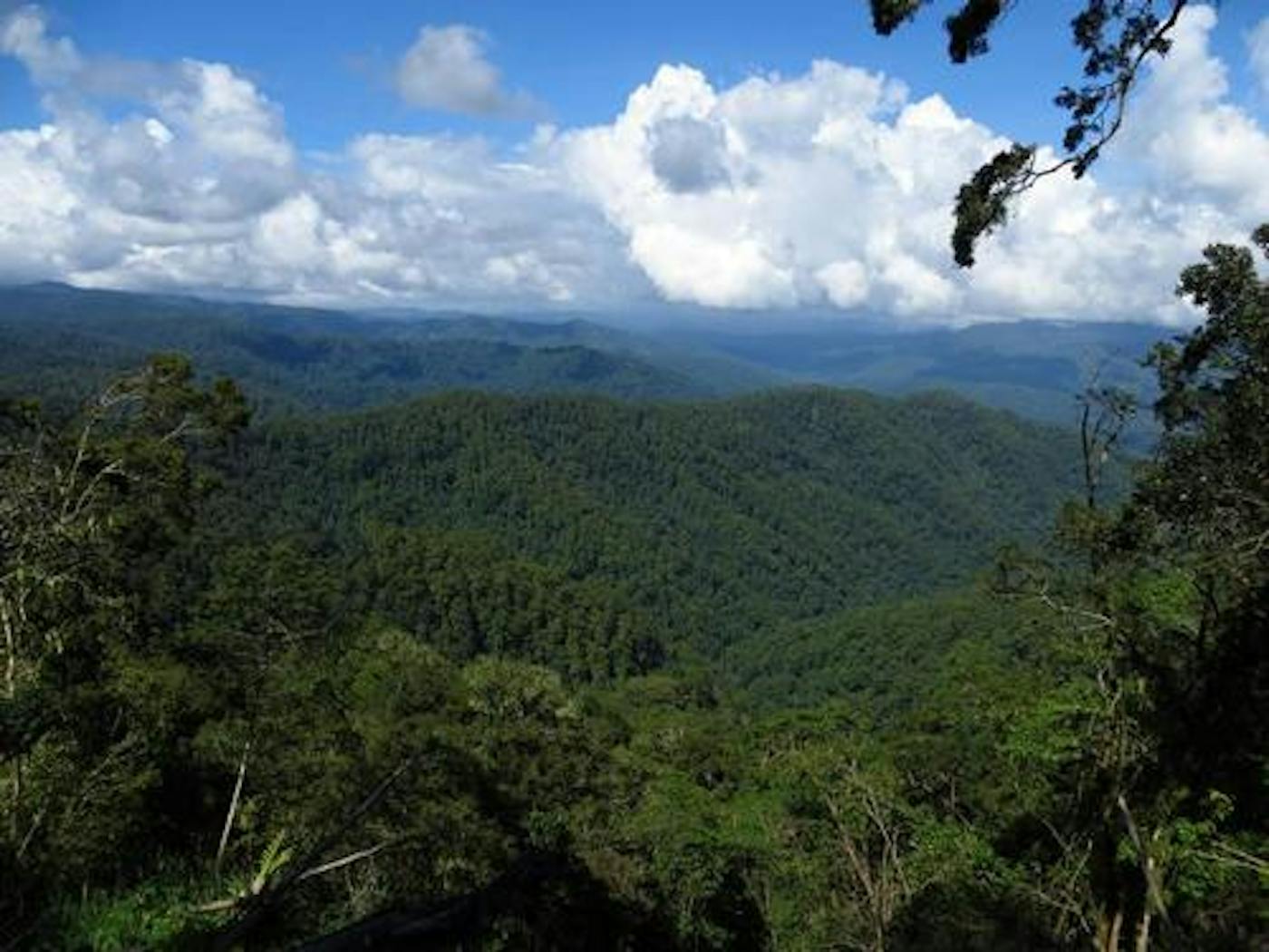
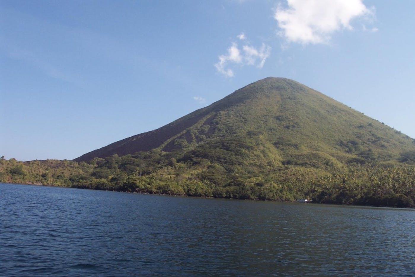
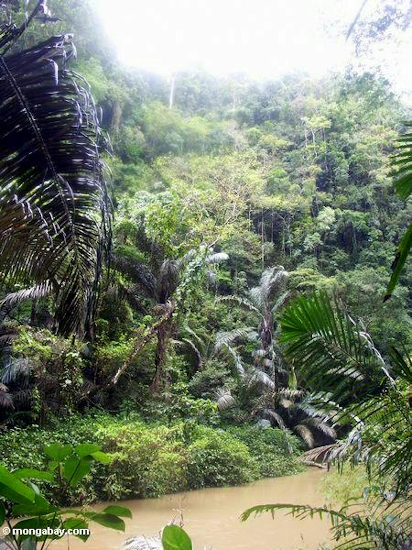
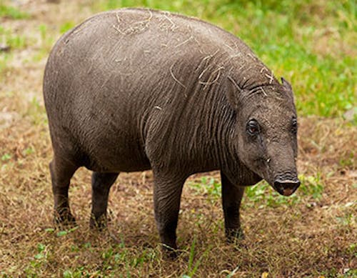
The Sulawesi, Maluku & Banda Sea Islands bioregion, located in the Australasia realm, consist of a large group of Indonesian islands surrounding the Molucca and Banda Seas. Sulawesi, to the west, is the largest island of the group with two major gulfs. The Maluku, to the east, are an archipelago of islands separated from New Guinea by the Halmahera and Seram Seas. The islands are dominated by rainforests with moist deciduous forest in the south, and the bioregion consists of six ecoregions—Banda Sea Islands Moist Deciduous Forests (136), Buru Rain Forests (138), Halmahera Rain Forests (140), Seram Rain Forests (151), Sulawesi Lowland Rain Forests (156), Sulawesi Montane Rain Forests (157)—totaling approximately 25.5 million hectares of land area.
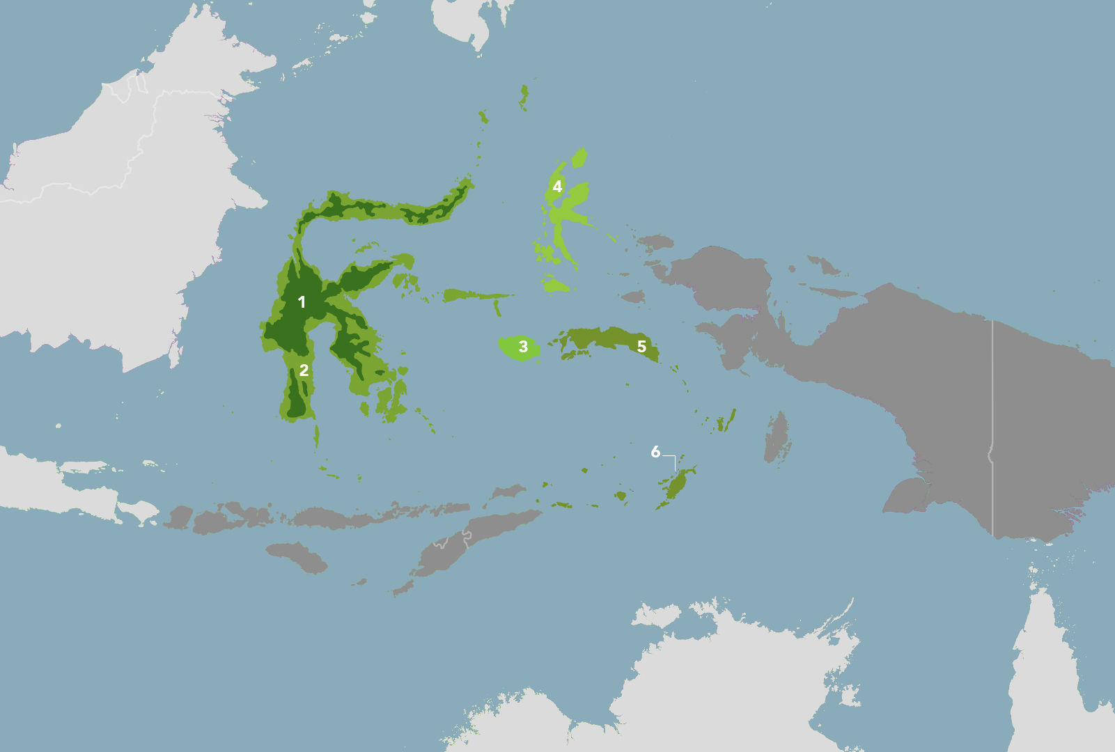
The Sulawesi & Maluku Islands bioregion is part of the Australasian Islands & Eastern Indonesia subrealm and is made up of six ecoregions: Sulawesi Montane Rainforests [1], Sulawesi Lowland Rainforests [2], Buru Rainforests [3], Halmahera Rainforests [4], Seram Rainforests [5], Banda Sea Islands Moist Deciduous Forests [6].
Learn more about each of the Sulawesi & Maluku Islands ecoregions below.
Subscribe to receive monthly updates on climate solutions, environmental heroes, and the profound beauty and wonder of our shared planet Earth.
Explore the Bioregions
Want to learn more about the fascinating species, diverse ecosystems, and natural wonders of the Earth? Click the button below to launch One Earth's interactive navigator and discover your Bioregion!
LAUNCH NAVIGATOR