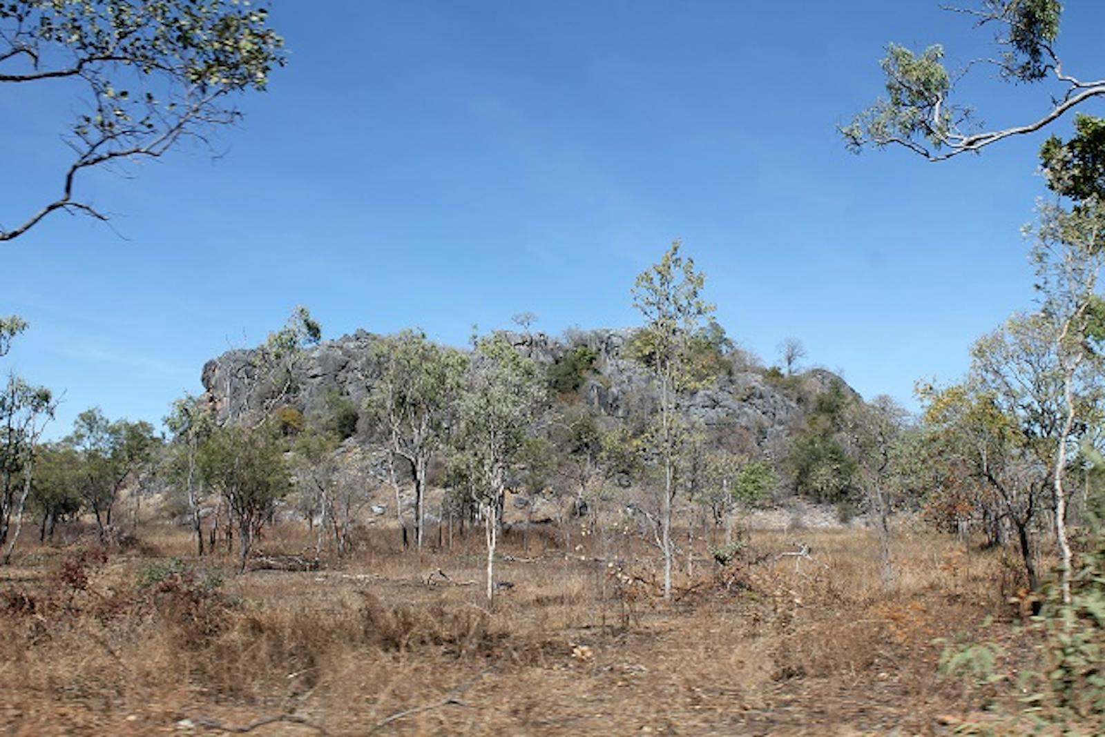
Einasleigh Upland Savanna
The ecoregion’s land area is provided in units of 1,000 hectares. The conservation target is the Global Safety Net (GSN1) area for the given ecoregion. The protection level indicates the percentage of the GSN goal that is currently protected on a scale of 0-10. N/A means data is not available at this time.
Bioregion: North Australian Tropical Savannas (AU8)
Realm: Australasia
Ecoregion Size (1000 ha):
11,688
Ecoregion ID:
185
Conservation Target:
97%
Protection Level:
1
States: Australia
Moving inland and upwards from the coastal Queensland rainforests, the drier Einasleigh Upland Savanna supports ironbark woodlands, wetlands, and drier rainforests. Basaltic soils and some of the longest lava flows and tubes in the world providing habitats for unusual rainforest communities and cave faunas.
-CC-2008.jpg)
The flagship species of the Einasleigh Upland Savanna ecoregion is the golden-shouldered parrot. Image credit: Creative Commons
Ironbark woodlands are common, occurring on stony hills and clay soils. These are dominated by Crebrae spp. of which 8 species are restricted to this ecoregion and two are dominant. Dry rainforests are common in the east and southeast, while low woodlands dominated by Eucalyptus tetradonta open forests and woodlands and E. culleni low woodlands occur in the north. Georgetown box (E. microneura) and ironbark woodlands dominate the plateaus in the west. The ecoregion supports 10 distinct wetland types. The largest wetland system is the Valley of Lagoons and Pelican Lakes in the upper Burdekin River. The Innot Hot Springs are a continentally rare wetland. There are also unusual cave wetland systems in the limestone Clarke River and Chillagoe caves. An estimated 4,370 native plant species occur.
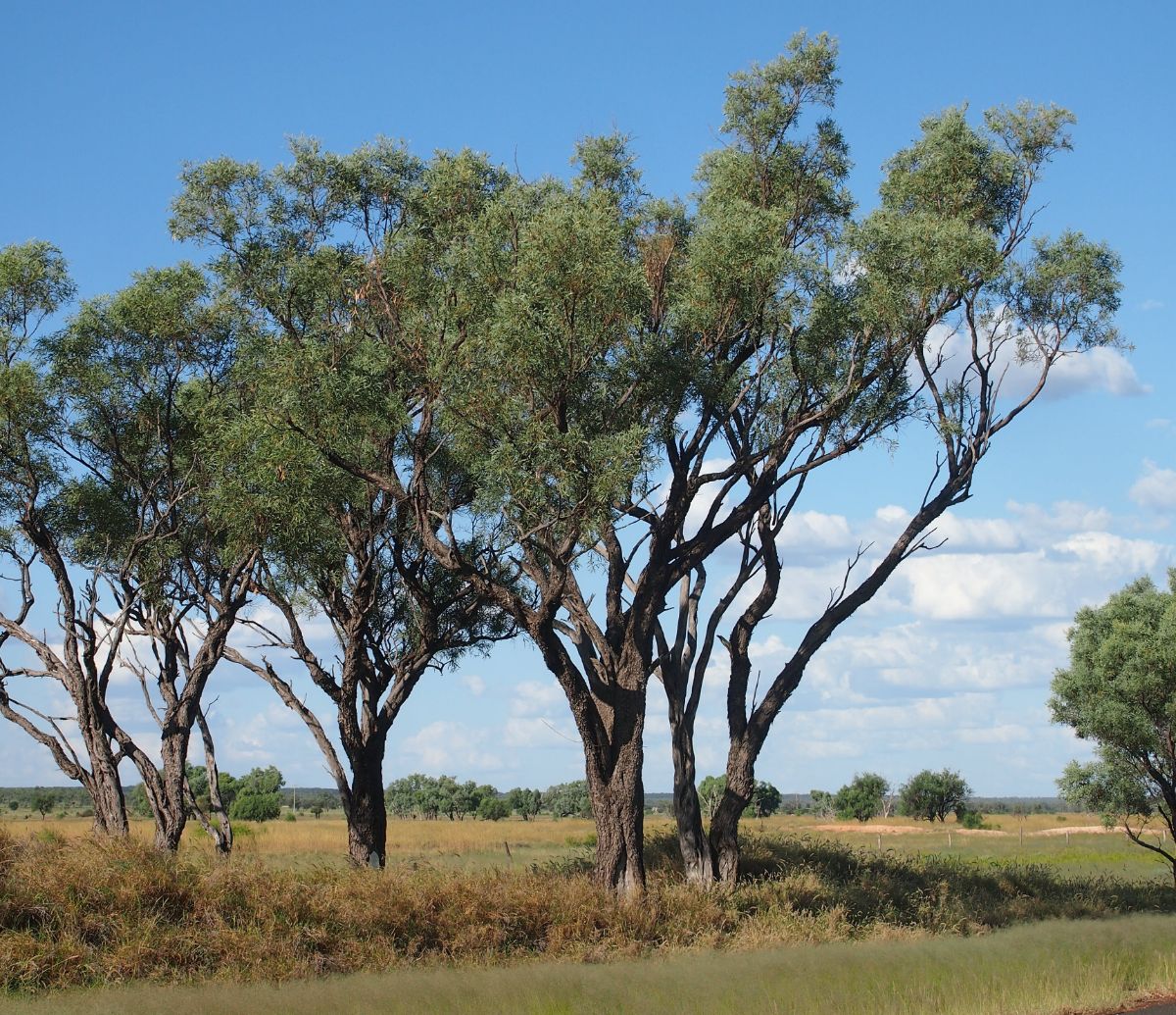
Acacia Cambagei. Image credit: Mark Marathon, Creative Commons
The ecoregion also hosts rich and unique fauna. Godman’s rock wallaby (Petrogale godmani) and Mareeba rock wallaby (P. mareeba) are near-endemics. The woodlands support the threatened mahogany glider (Petaurus gracilis) and bridled nailtail wallaby (Onychogalea fraenata). The extensive lava caves are home to insectivorous bat, such as the small cave eptesicus (Vespadelus troughtoni), eastern horseshoe (Rhinolophus megaphyllus), and two species of bent-wing bats (Miniopterus schreibersii and M. Australis).
The rare golden-shouldered parrot (Psephotus chyrsopterygius) is endemic, while numerous Queensland endemic species are also recorded in the ecoregion. This includes 36 bird species, such as the buff-breasted button-quail (Turnix olivii), southern cassowary (Casuarius casuarius johnsonii), and over 70 reptile species, including the vulnerable Yakka Skink (Egernia rugosa). Sixty-nine amphibians occur here, including the critically endangered little waterfall frog (Litoria lorica) and mountain mist frog (Litoria nyakalensis).
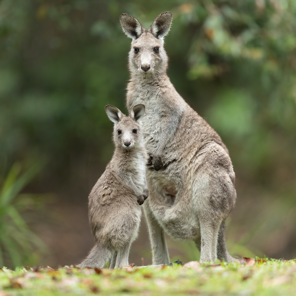
Eastern grey kangaroo. Image credit: JJ Harrison, Creative Commons
Protected areas include part of Lumholtz National Park and Bulleringa National Park, Undara Volcanic National Park, and Great Basalt Wall National Park, as well as 15 DIWA Nationally Important Wetlands. The Chillagoe-Mungana Caves National Park protects unique cave fauna. Despite these reserves only 7% of the ecoregion is protected. Grazing, weeds, mining, and altered fire regimes caused loss and degradation of natural habitats. Tailings dams and erosion degrade freshwater and riparian ecosystems. Clearing and invasive plants, such as lantana (Lantana camara) and rubber vine (Crytostegia grandiflora) threat dry rainforests.
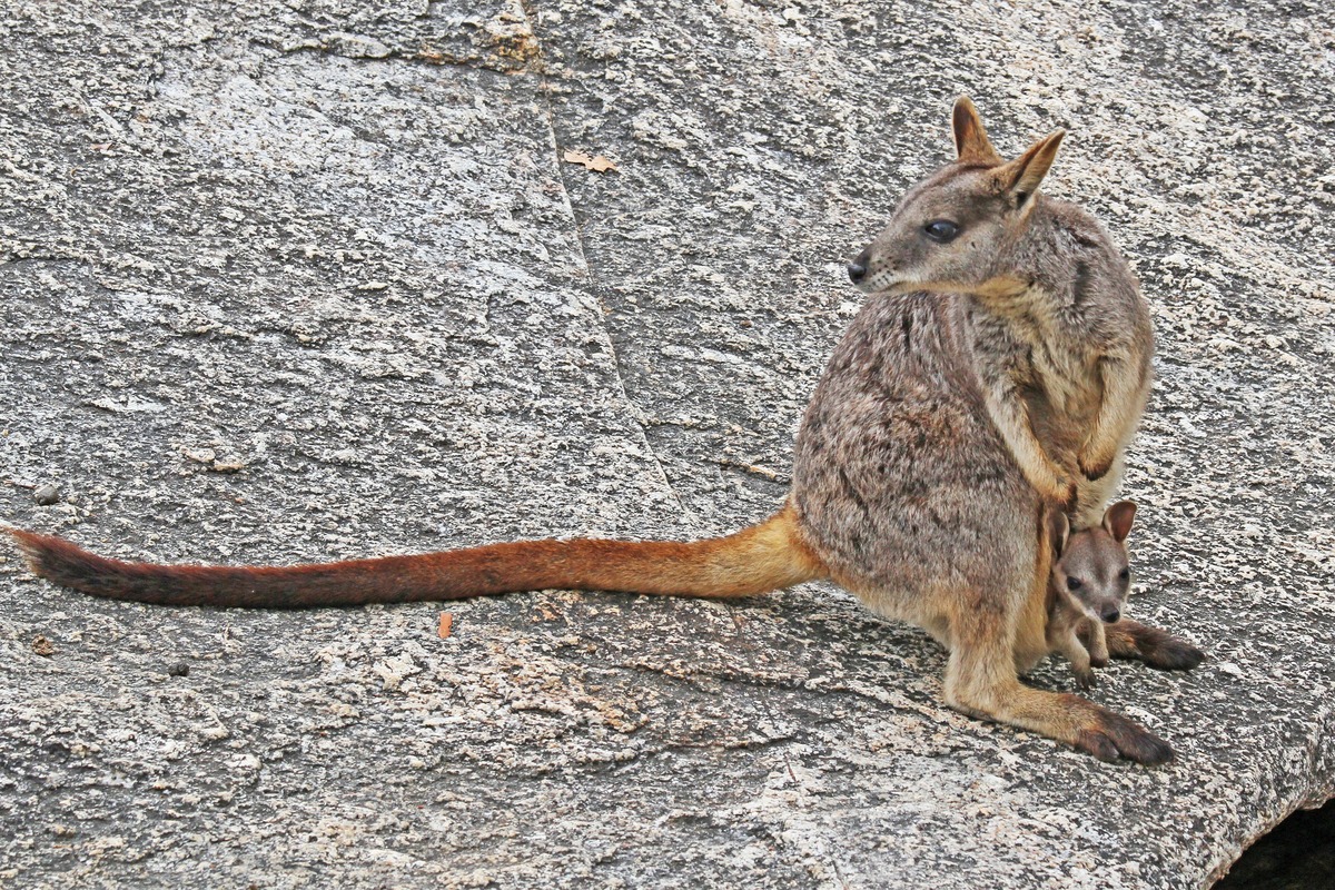
Mareeba rock wallaby. Image credit: Joseph C Boone, Creative Commons
The key conservation actions for next decade are to: 1) maintain active weed management to prevent the spread of pasture weeds, such as Parthenium hysterophorous, in dry rainforest; 2) increase representation of wetlands and riparian habitats in the protected area system, in particular identified areas of floristic interest around Herberton; and (3) collaborate with traditional landowners to implement the Department of National Parks, Recreation, Sport and Racing’s (NPRSR) Queensland Parks and Wildlife Service (QPWS) Fire Management System fire strategy.
Citations
- Morgan, G., 1999. Einasleigh Uplands. Pages 9/1-9/31 in P. Sattler and R. Williams, editors. The Conservation Status of Queensland's Bioregional Ecosystems. Environmental Protection Agency, Brisbane.
- Queensland Government. 2019. Remnant regional ecosystem vegetation in Queensland. Retrieved from https://www.qld.gov.au/environment/plants-animals/plants/ecosystems/remnant-vegetation
- The State of Queensland Department of National Parks, Recreation, Sport and Racing. 2012. Planned Burn Guideline – Einasleigh Uplands Bioregion of Queensland. Retrieved from https://parks.des.qld.gov.au/__data/assets/pdf_file/0022/156730/pbg-einasleigh-uplands.pdf
