Fraser Plateau and Basin Conifer Forests
The ecoregion’s land area is provided in units of 1,000 hectares. The conservation target is the Global Safety Net (GSN1) area for the given ecoregion. The protection level indicates the percentage of the GSN goal that is currently protected on a scale of 0-10. N/A means data is not available at this time.
Bioregion: Northwest Intermountain Conifer Forests (NA14)
Realm: Northern America
Ecoregion Size (1000 ha):
10,450
Ecoregion ID:
355
Conservation Target:
45%
Protection Level:
3
States: Canada: BC
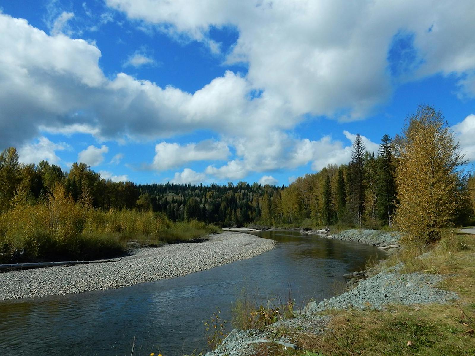
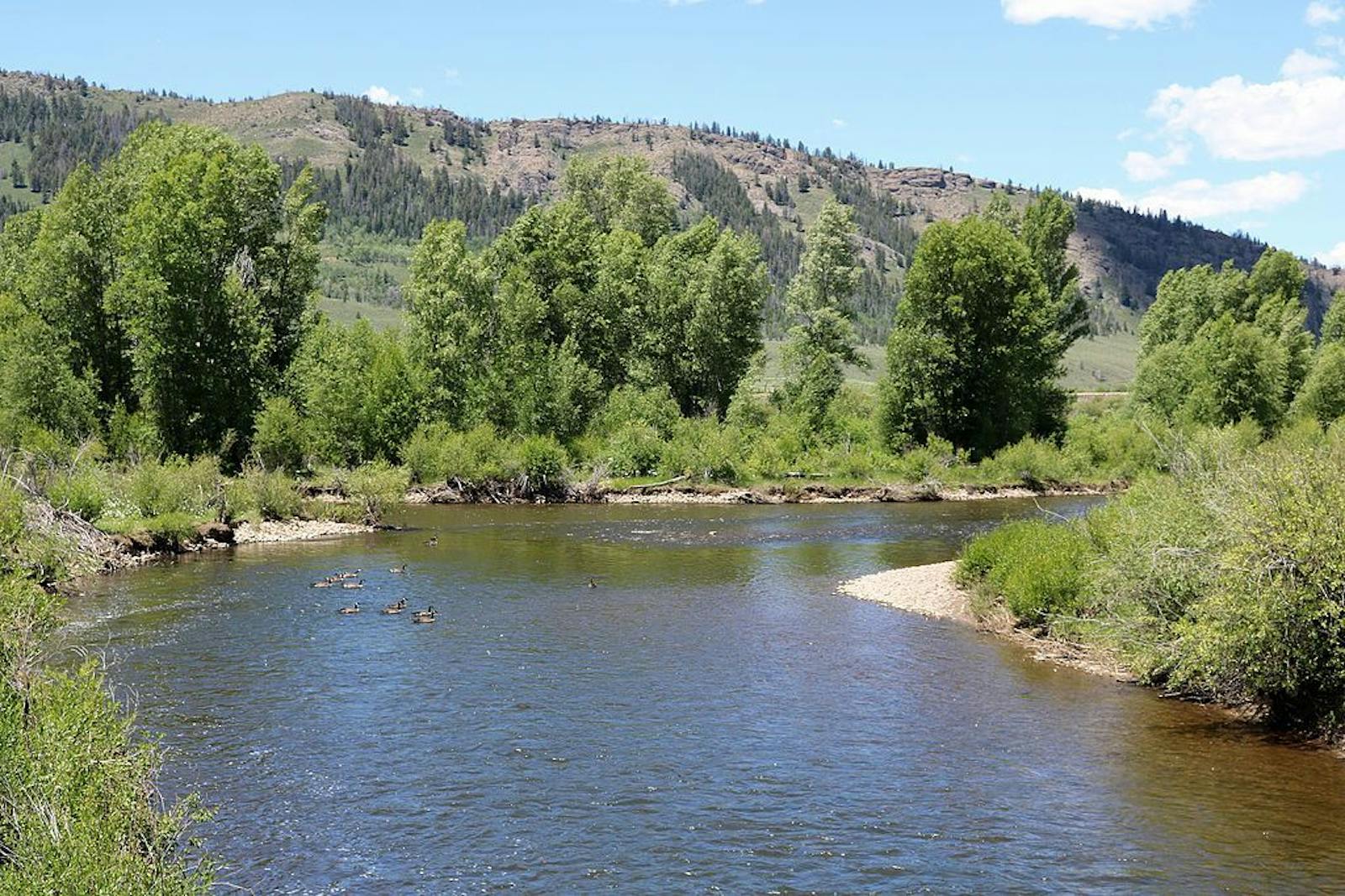
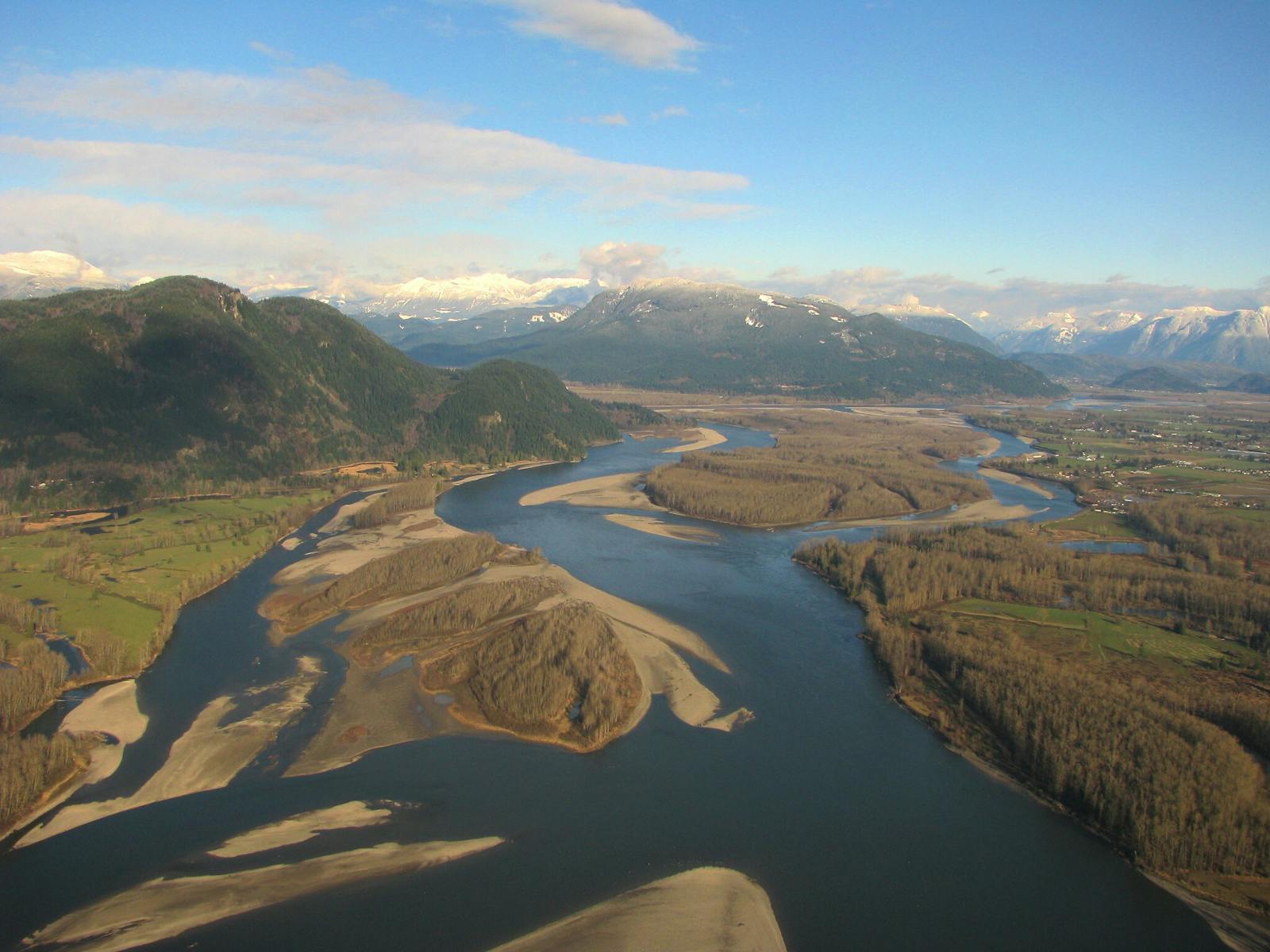
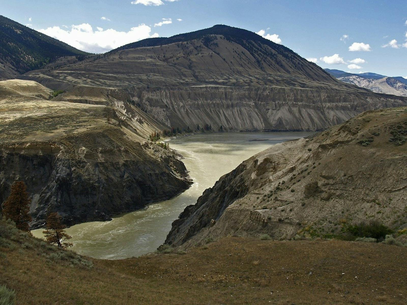
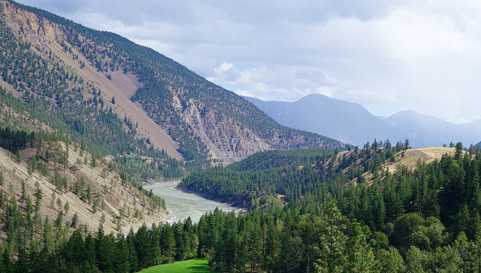
The Fraser Plateau and Basin Conifer Forests ecoregion occupies a transitional area of plateaus and plains covering much of the central interior of British Columbia. It lies between the Coast Mountains (within the British Columbia Coastal Conifer Forests ecoregion to the west) and the Rocky Mountains. To the north and east is the Central British Columbia Mountain Forests ecoregion, to the southeast is the Northern Rockies Conifer Forests ecoregion, and to the south is the Okanogan Dry Forests ecoregion. Its rolling surface is covered by thick glacial drift, through which the Fraser River and its tributaries have cut their courses. These sedimentary deposits overlie volcanic bedrock, specifically basaltic lava of the Chilcotin Group.
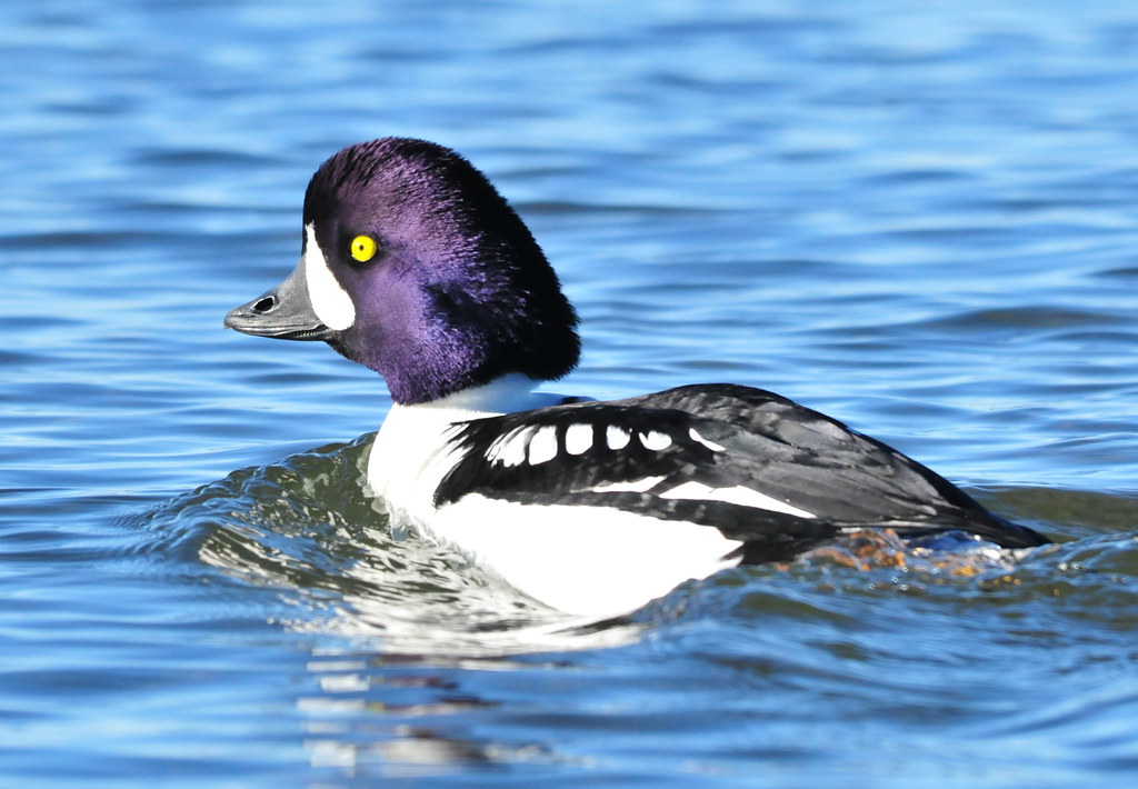
The flagship species of the Fraser Plateau and Basin Conifer Forests ecoregion is the Barrow's goldeneye. Image credit: Courtesy of USFWS Mountain Prairie, Flickr
The climate of the Fraser Plateau and Basin Conifer Forests ecoregion is classified as boreal interior Cordilleran, but varies widely, given its transitional location. The mean annual temperature across the ecoregion is 3ºC, with a mean summer temperature of 12.5°C and a mean winter temperature of -7.5°C. Annual precipitation ranges from 250–300 mm around the junction of the Fraser and Chilcotin rivers to 600-800 mm per year at higher elevations in the west. Topographic relief is relatively modest, with elevations generally ranging from below 1,000 m in the northeast to 1,800 m in the west. Isolated shield volcanos in the Itcha Range and Ilgachuz Range rise to 2,400 m.
The vegetation of the ecoregion varies from dry to moist types. Grasslands dominated by perennial bunchgrasses and with relatively frequent fire occupy valley bottoms along the Fraser and Chilcotin rivers. The montane forest zone contains lodgepole pine, quaking aspen, Douglas-fir, and white spruce. The higher subalpine zone is dominated by lodgepole pine, Engelmann spruce, and subalpine fir. The highest zones are alpine tundra.
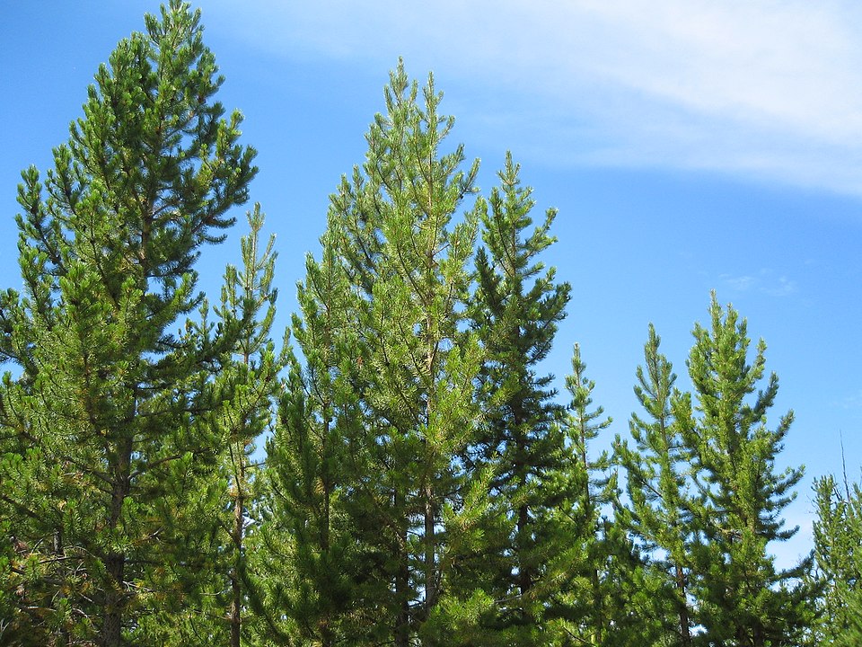
Lodgepole pine. Image credit stereogab, Creative Commons
A unique grassland community, unknown from elsewhere in central or southern British Columbia, occurs in the Ilgachuz Range. Lakes and wetlands of various types are particularly important communities in this ecoregion, which contains what appear to be the largest concentrations of breeding Barrow’s goldeneye and bufflehead on the continent. Other noteworthy birds include trumpeter swan, other migratory waterfowl, sandhill crane, blue grouse, spruce grouse, ruffed grouse, and sharp-tailed grouse. This ecoregion also contains the southernmost relatively stable herd of woodland caribou, numbering around 1,500 animals, which overwinter in sheltered forests. Other mammals include wolf, coyote, black bear, grizzly bear, lynx, muskrat, moose, black-tailed deer, and bighorn sheep. Churn Creek Protected Area, in the southern portion of the ecoregion, is notable for its bighorn sheep population.
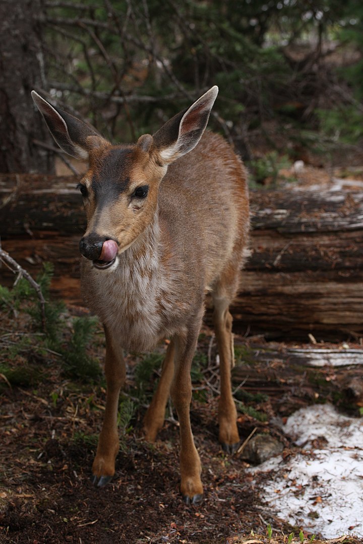
Black-tailed deer. Image credit: Walter Siegmund, Creative Commons
The vegetation here is grassland dominated by bluebunch wheatgrass, with clumps of big sagebrush, an uncommon community this far north. Lichens and mosses cover up to 80% of the ground. Birds here include Brewer’s sparrow, Lewis’s woodpecker, long-billed curlew, prairie falcon, and short-eared owl. Western small-footed myotis and Townsend’s big-eared bat also occur, along with rubber boa and gopher snake.
Only 15% of the Fraser Plateau and Basin Conifer Forests ecoregion is protected, but some 30% of habitat outside of protected area remains generally intact. Agricultural activities, including livestock grazing, have highly altered the lands in major river valleys and in the southern uplands. Agriculture has also led to drainage of wetlands, and hydroelectric impoundments have altered rivers. Logging is greatly expanding in this ecoregion and probably constitutes the greatest current threat, with much of the unprotected forests scheduled to be cut in the short term.
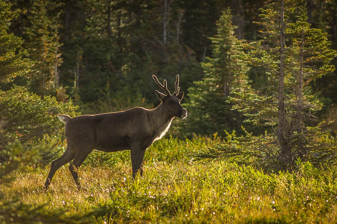
Woodland caribou. Image credit: ThartmannWiki, Creative Commons
Priority conservation actions for the next decade are to: 1) vastly increase designation of conservation lands, especially to protect important wintering habitats for mammals and wetland habitats; 2) improve forest management and drastically reduce the rate of logging; and 3) increase the level of protection for significant wildlife populations such as woodland caribou, bighorn sheep, grassland-associated species, and waterfowl.
Citations
1. Ricketts, T.H. et al. 1999. Terrestrial Ecoregions of North America: A Conservation Assessment. Island Press, Washington, D.C.
2. Ecological Stratification Working Group. 1995. A National Ecological Framework for Canada. Environment Canada and other agencies, Ottawa.
3. Fraser Plateau and Basin Complex. Global Species. https://globalspecies.org/ecoregions/display/NA0514
