Guianan Highlands Moist Forests
The ecoregion’s land area is provided in units of 1,000 hectares. The conservation target is the Global Safety Net (GSN1) area for the given ecoregion. The protection level indicates the percentage of the GSN goal that is currently protected on a scale of 0-10. N/A means data is not available at this time.
Bioregion: Guianan Forests & Savanna (NT21)
Realm: Southern America
Ecoregion Size (1000 ha):
14,693
Ecoregion ID:
464
Conservation Target:
98%
Protection Level:
7
States: Venezuela, Brazil, Guyana, Suriname, France
Endemic to the lowland moist forests of Venezuela, the large fiery squirrel growing up to 60 cm is hard to miss as it runs along branches and jumps between trees in the rainforest canopy. These aptly named squirrels have dark backs that grades into red, orange, and yellow around their neck and ears, giving it a striking appearance. Although little is known about their behavior, they are solitary, territorial, and are known to build cryptic nests in the tops of trees and in vine tangles. Like other squirrels, these unique species play an important role in distributing seeds around the forest and maintain forest cover and biodiversity; because of their large size, they are especially important to species with larger seeds, such as Attalea palm.
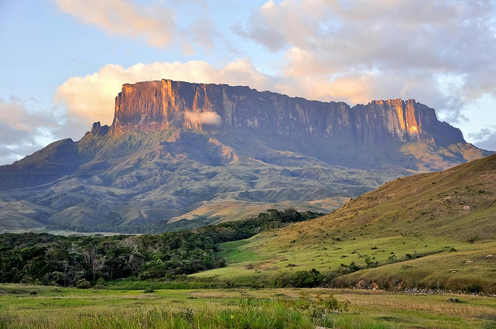
Situated in southeastern Venezuela in northern South America, the Guayanan Highlands Most Forests ecoregion is an elevational "island" surrounded by llanos and lowland forest. Portions of the ecoregion lie in the northernmost tip of Brazil, with small slivers in western Guayana and eastern Colombia. Most of this ecoregion lies within the eastern portion of the Orinoco Basin which drains into the Caribbean Sea from Venezuela. Another portion drains into the Amazon Basin.
The ecoregion sits upon the Guayana Shield which underlies the northern region of South America. It consists of a rock basement with a variety of igneous and metamorphic rocks formed during different geological events. The soils are generally sandy and poor in nutrients. The climate averages 24°C and is humid with 2,000–2,400mm of rainfall distributed evenly though the year. The region is perforated by a series of ancient uplands and highlands between 500–3,000m in elevation.
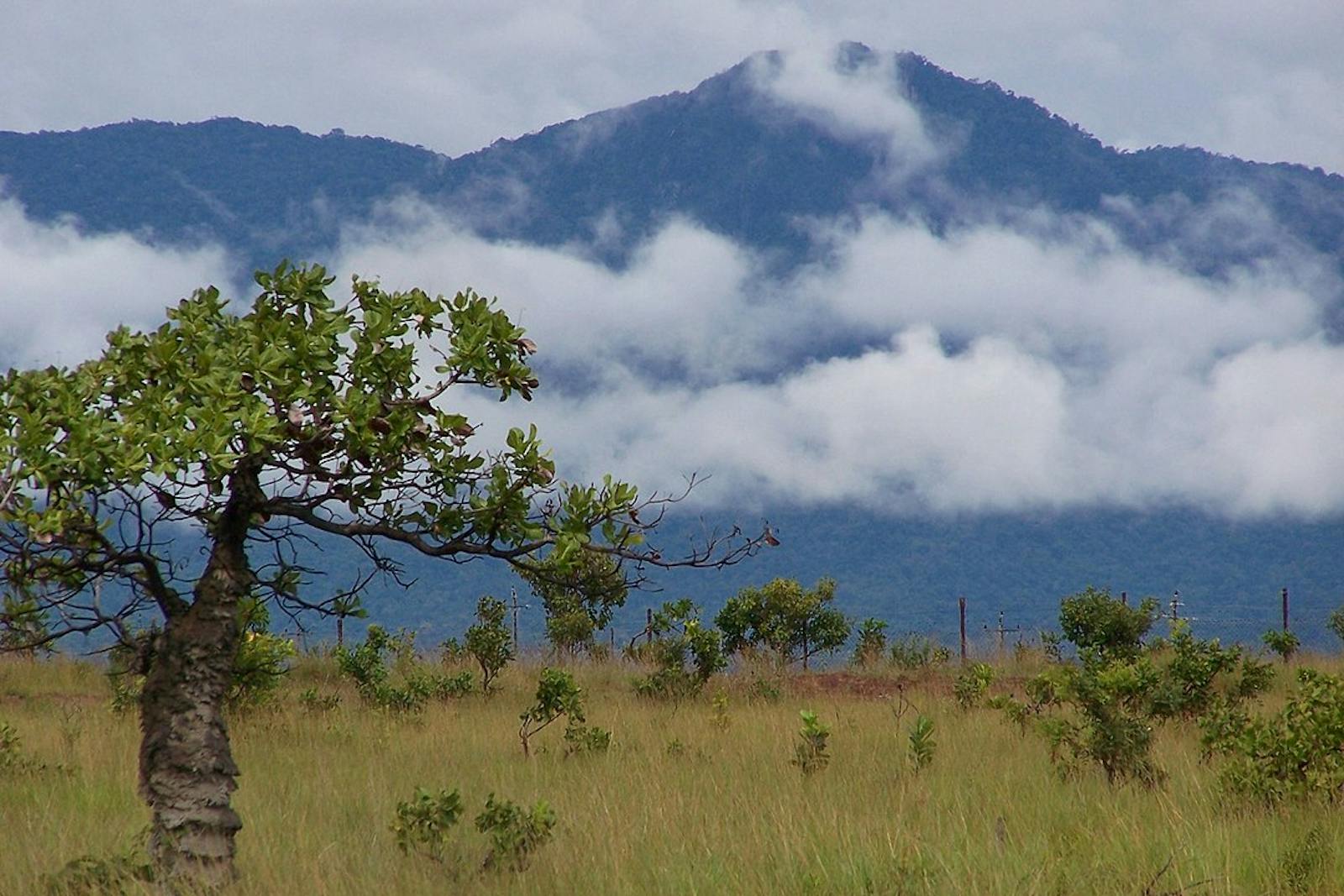
It hosts vast expanses of tall primary rainforest and open, treeless, or nearly treeless savannas interrupted by gallery forests. On the plains, abundant trees include Simaba cedron, Micropholis melinoniana, and the fruit bearing Euterpe precatoria. In the hills Newtonia suaveolens, tauari, and Micrandra minor are common. In the upper Orinoco portion of the ecoregion important trees include membrillo, Etaballia dubia, and hog plum.
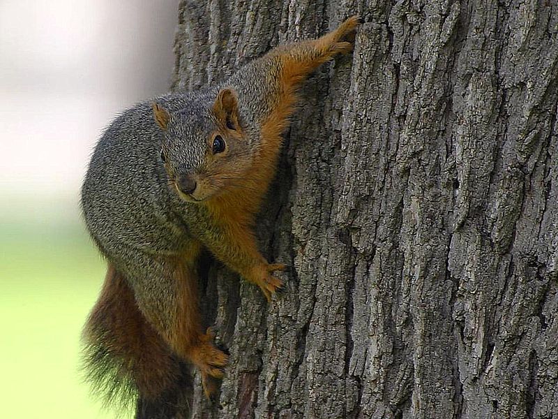
The flagship species of the Guianan Highlands Moist Forests ecoregion is the fiery squirrel. Image credit: Creative Commons
The region hosts 209 mammals. Many are widespread Amazonian species, including jaguar, puma, tapir, peccary, and deer. More restricted distribution mammals include three species of bat, opossum, an endemic olingo (Bassaricyon beddardi), and three endemic rodents: Orinoco agouti, Guyanan spiny-rat, and fiery squirrel. There are 631 bird species, few are endemic. Those with more restricted distributions include aplomado falcon, burrowing owl, pavonine cuckoo, chestnut-tipped toucanet, and smoke-colored pewee. Reptiles and amphibians are abundant. The more well-known snakes include fer-de-lance, palm pit-vipers, coral, boas, and bushmasters. Iguanas and tegus lizards are common.
Many of the interior forests of the Guayana Highlands Moist Forests ecoregion are intact. Prohibition of commercial logging in the Venezuelan state of Amazonas curtails activities, but other sections are still subjected. Notable protected areas that are part of or within the ecoregion include Alto Orinoco-Casiquiare Biosphere Reserve and Canaima, Parima-Tapirapecó, Serranía La Neblina, and Pico da Neblina national parks.
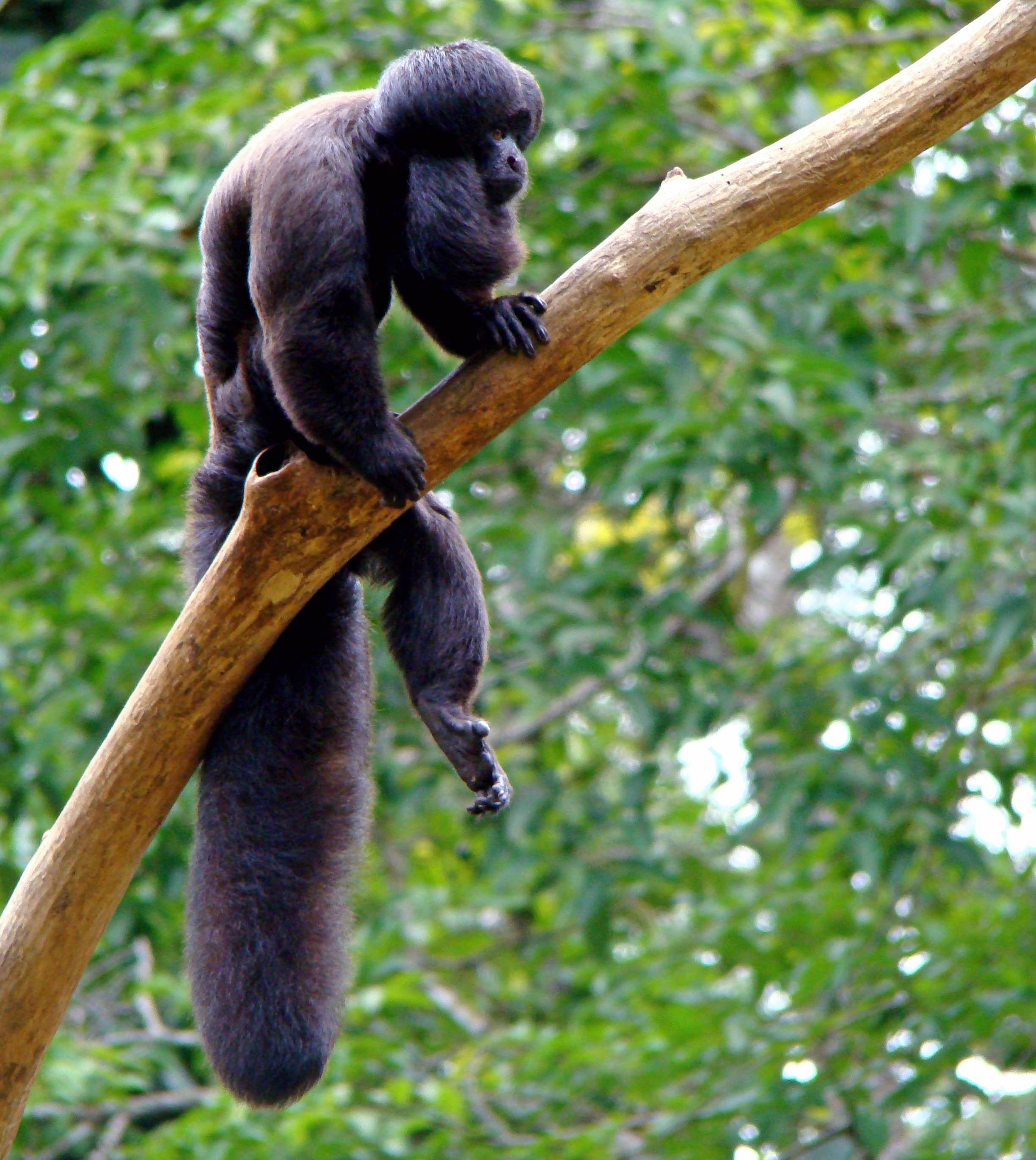
Black bearded saki. Image credit: Creative Commons
Habitat destruction from large-scale agriculture, mining, and cattle raising occurs mostly along the northern and northeastern periphery of the ecoregion, nearest to urban centers. Recently, impacts have started rooting further into the heart of the ecoregion. Timber activities are penetrating the remote interior following road-building activities. The spread of mining and large-scale agricultural developments in the interior of the ecoregion is also steady.
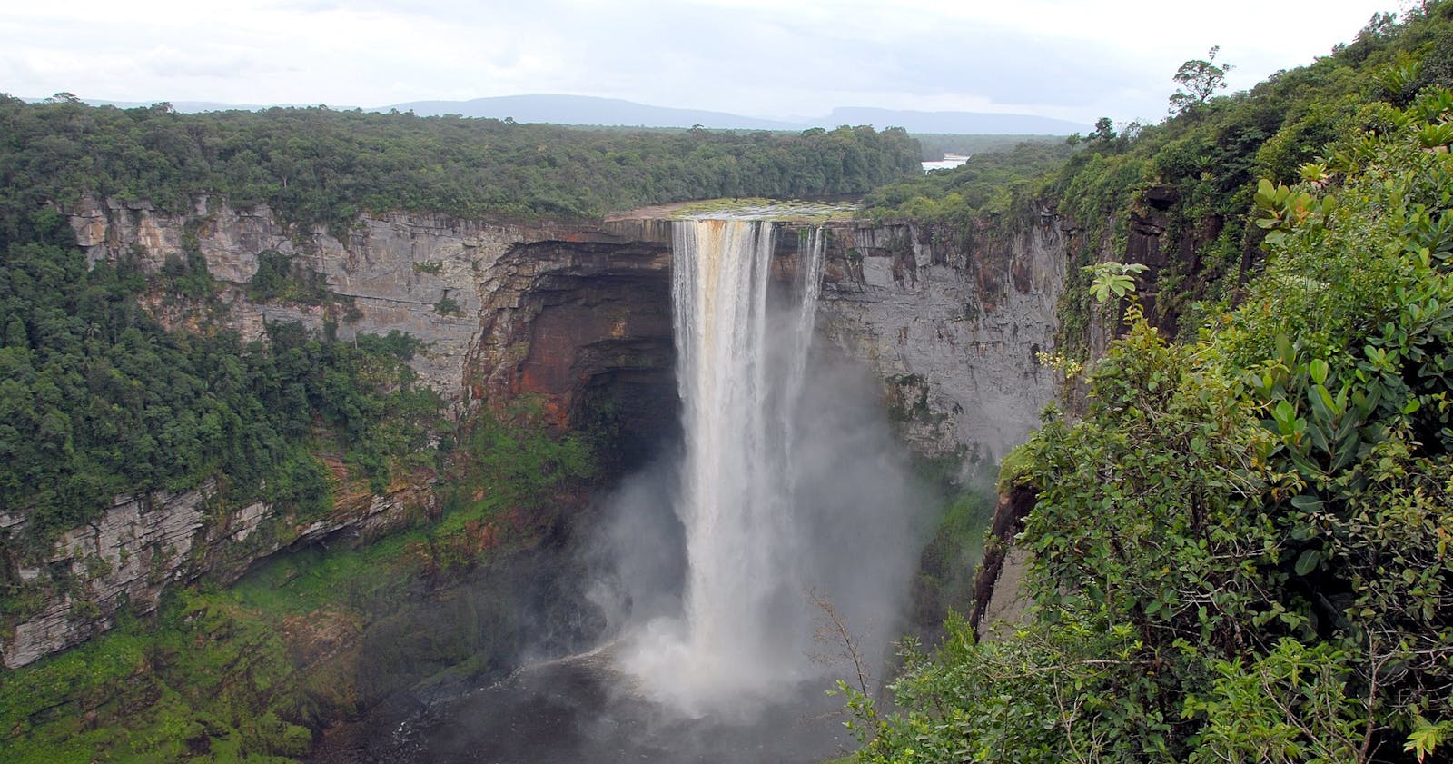
Fires set by miners and agriculturalists to clear land can pose a threat to habitat if they are uncontrolled. Unregulated tourism in Amerindian villages also adversely impacts both the cultural and ecological richness of the area. A series of 5 dams being constructed on the Caroni River, and several others being planned on the Paragua River, could be devastating to the river basin areas and riparian habitat.
The priority conservation actions for the next decade will be to: 1) provide awareness and financial incentive to curb local timber extraction; 2) encourage farmers to integrate sustainable practices; and 3) counter or advise the damming process to reduce impact.
Citations
1. Sears, R. 2019. South America: Southern Venezuela, northern Brazil, western Guyana, and eastern Colombia https://www.worldwildlife.org/ecoregions/nt0124 Accessed June 24, 2019.
2. Huber, O. 1995a. Conservation of the Venezuelan Guayana. Pages 193-218 in P. E. Berry, B. K. Holst, and K. Yatskievych, editors, Flora of the Venezuelan Guayana. St. Louis: Missouri Botanical Garden and Timber Press.
3. Huber, O. 1995b. Vegetation. Pages 97-160 in P. E. Berry, B. K. Holst, and K. Yatskievych, editors, St. Louis: Flora of the Venezuelan Guayana. Missouri Botanical Garden and Timber Press.
