Interior Alaska-Yukon Alpine Tundra
The ecoregion’s land area is provided in units of 1,000 hectares. The protection goal is the Global Safety Net (GSN1) area for the given ecoregion. The protection level indicates the percentage of the GSN goal that is currently protected on a scale of 0-10.
Bioregion: Greater Alaska Taiga & Tundra (NA4)
Realm: Subarctic America
Ecoregion Size (1000 ha):
15,294
Ecoregion ID:
416
Conservation Target:
100%
Protection Level:
2
States: United States: AK. Canada: YT
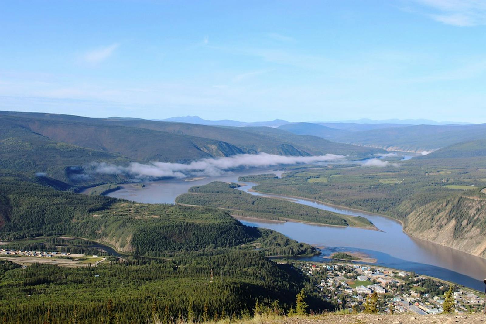
The Interior Alaska-Yukon Alpine Tundra ecoregion consists of a set of disjunct higher-elevation patches of tundra and open forest in a matrix of lowland taiga (the Interior Alaska-Yukon Lowland Taiga ecoregion) across the interior of Alaska, overlapping into southwestern Yukon Territory. Two larger patches are a long east-west strip contiguous with the Brooks-British Range Tundra ecoregion to the north and another that projects into Yukon and borders the Ogilvie-Mackenzie Alpine Tundra, Watson Highlands Taiga, and Alaska-St. Elias Range Tundra ecoregions, in addition to the Alaska-Yukon Lowland Taiga.
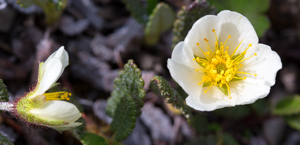
The flagship species of the Interior Alaska-Yukon Alpine Tundra ecoregion is the mountain avens. Image credit: Courtesy of Sheila Sund, Flickr
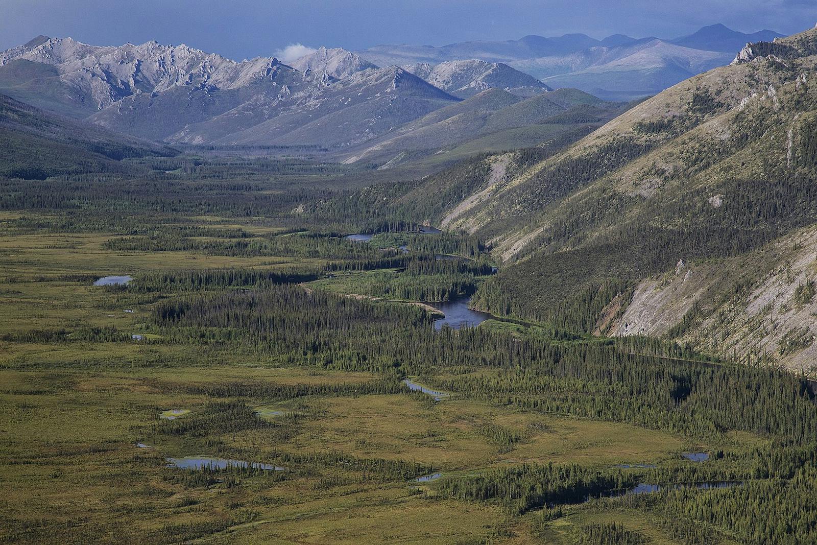
The Interior Yukon-Alaska Alpine Tundra ecoregion contains landscapes with mountain ranges and high peaks, extensive rolling hills and plateaus, abrupt granite outcrops known as tors, and valleys and lowlands. Most of the ecoregion is in the 900–1,500 m elevation range, with peaks reaching between 2,100 m and 2,400 m. Most of the ecoregion was glaciated, though some unglaciated areas might have served as Pleistocene refugia.
The southeastern part of the Arctic National Wildlife Refuge lies within this ecoregion, with additional significant protected areas including the Yukon-Charley Rivers National Preserve, Steese National Conservation Area, and Chena River State Recreation Area (notable for its abundance of granite tors).
The climate of this ecoregion ranges from subarctic (boreal northern cordilleran and subalpine) at lower elevations to arctic (alpine) at higher elevations, with permafrost correspondingly ranging from discontinuous at low elevations and closer to the coast to continuous at higher elevations and more interior sites.
As for interior Alaska and Yukon in general, summers are short and cool and winters long and cold. Average summer temperatures are around 10ºC to 10.5ºC and average winter temperatures -23ºC to -20ºC. Precipitation ranges from less than 300 mm in valleys within the rain shadows of mountains to more than 600 mm at higher elevations.
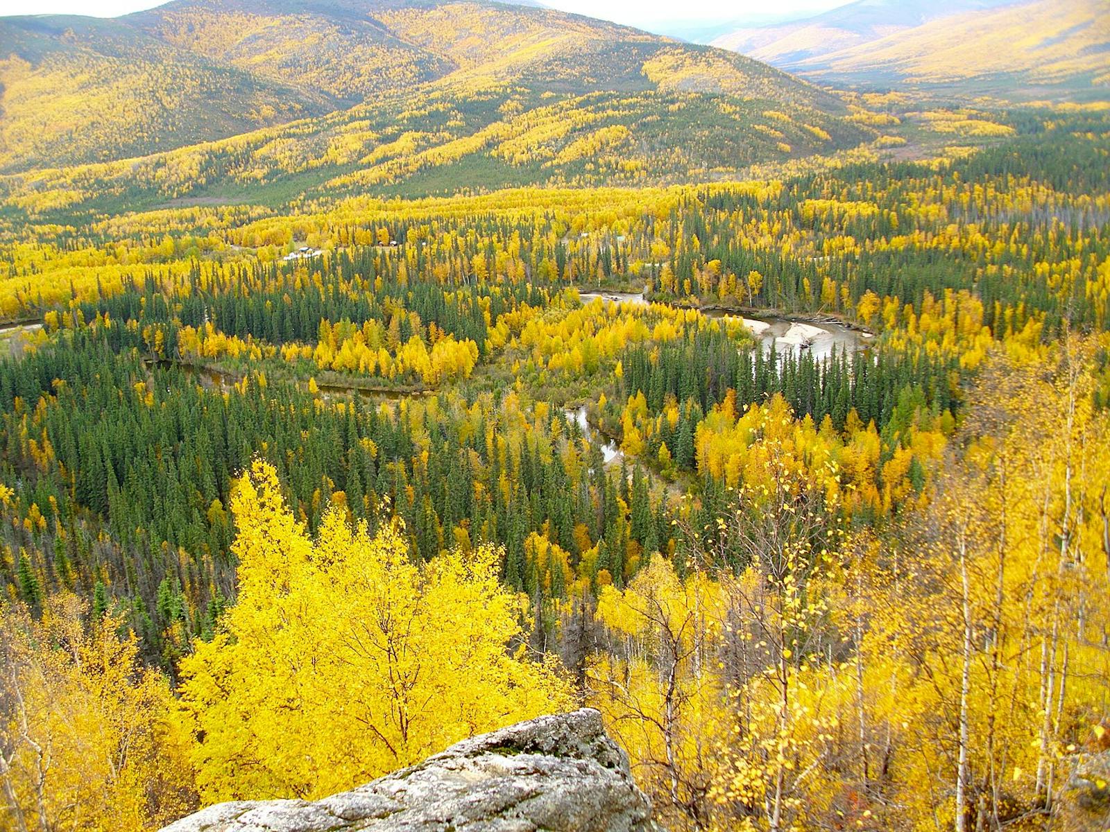
At lower elevations boreal forest, especially its more open and barren taiga form, is the dominant vegetation. Major tree species are black spruce, white spruce, trembling aspen, birch, willow, alder, and balsam poplar. The latter species dominates some floodplains. Subalpine fir and lodgepole pine occur in some areas. There is an active lightning fire regime, which resets ecological succession and maintains the fire-dependent ecosystems. Timberline generally occurs at elevations above 900 m, and concentrations of dwarfed white spruce often occur near timberline.i
At higher elevations the vegetation is alpine tundra with mountain avens, dwarf willow, dwarf birch, plants in the heath family (e.g., bearberry, blueberry, cranberry, crowberry, northern Labrador tea), grasses, cottongrass and other sedges, lichens, and mosses. Some characteristic mammals are grizzly bear, black bear, wolf, red fox, moose, barren-ground caribou, Dall sheep, and beaver. Among the caribou herds that make seasonal use of the ecoregion are the White Mountains and Fortymile herds.
Notable birds are common raven, rock and willow ptarmigan, golden eagle, and peregrine falcon. Some of the larger streams and rivers have chinook and chum salmon, with other fish including Arctic grayling, round whitefish, burbot, northern pike, slimy sculpin, and longnose sucker.i
Although close to 100% of this ecoregion is ecologically intact, only 23% is protected, pointing to a need for additional designations of conservation lands. Mining and associated road development have altered some areas, especially in valley bottoms. Priority conservation actions for the next decade are: 1) bring more land into protection to fully represent the range of ecosystems across the ecoregion; 2) prohibit incompatible uses, including mining, within designated protected areas; and 3) protect vulnerable species from over-harvest and monitor populations.
Citations
1. Ricketts, T.H. et al. 1999. Terrestrial Ecoregions of North America: A Conservation Assessment. Island Press, Washington, D.C.
2. Gallant, A.L., E.F. Binnian, J.M. Omernik, and M.B. Shasby.1995. Ecoregions of Alaska. USGS Professional Paper 1567. U.S. Govt. Printing Office, Washington, D.C.
3. https://en.wikipedia.org/wiki/Yukon–Charley_Rivers_National_Preserve
