Iquitos Várzea
The ecoregion’s land area is provided in units of 1,000 hectares. The conservation target is the Global Safety Net (GSN1) area for the given ecoregion. The protection level indicates the percentage of the GSN goal that is currently protected on a scale of 0-10. N/A means data is not available at this time.
Bioregion: Western Amazonian Forests & Plains (NT18)
Realm: Southern America
Ecoregion Size (1000 ha):
11,526
Ecoregion ID:
469
Conservation Target:
86%
Protection Level:
3
States: Peru, Brazil, Bolivia
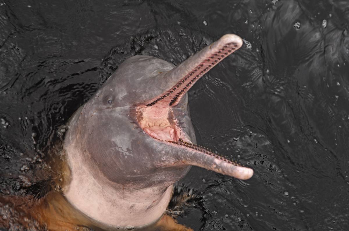
The boto, or Amazon river dolphin, can be seen swimming through the trees submerged along the river’s edge during the rainy season—their bright pink color in stark contrast to the brownish water. During the seasonal flooding they will search for food among the trunks of seasonally flooded forests. It has previously been listed as Vulnerable, but the current threats of hunting by local fisherman and general river degradation have uplisted the species as Endangered.
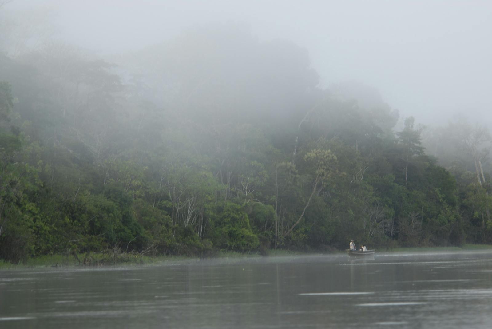
The Iquitos Várzea ecoregion comprises the low, seasonally inundated river basins of the upper Amazon, Ucayali, Marañon, and Madre de Dios in Peru and Bolivia, several smaller tributaries to the Amazon in Peru, and the upper Juruá and Purus Rivers in Brazil. A large portion of the region is centered on the extensive seasonally flooded plain in northeastern Peru at the confluence of the Marañon and Ucayali Rivers that join to form the Amazon. The large urban center of Iquitos lies at 100 m above sea level and the topography, on the whole, is very flat.

The flagship species of the Iquitos Várzea ecoregion is the Amazon river dolphin.
Annual rainfall ranges from 2,400 to 3,000 mm, and the average annual temperature is 26°C. At Iquitos, the Amazon River floods twice a year as the rivers from the Peruvian and Ecuadorian Andes exceed their banks after seasonal rainfall. The river water, laden with sediments and thus called whitewater, floods the surrounding forest under 6 to 7 m for up to ten months each year, affecting a swath of land up to 20 km wide. This renders the ground remarkably fertile, a trait unequaled on the adjacent Amazon uplands. The flooding leads to a range of vegetation stages: grasses, woody shrubs, early trees, and late trees.
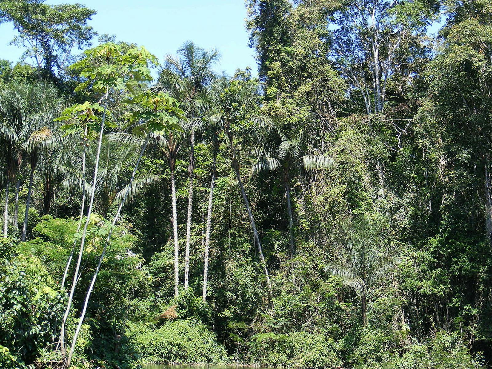
Extensive stands of the economically important buriti palm and Jessenia batuaua are characteristic in the region and common in flooded areas. The water’s edge is sometimes dominated by shrubs of the camu-camu fruit that flourish with the flooding. A strong component of monocots such as heliconia and ginger dominate parts of the understory, along with palms and epiphytes.
The Iquitos Várzea ecoregion has over 225 species of mammals and 624 species of birds. Aquatic mammals include the boto, manatees, and giant otters. Other mammals of note include Goeldi’s marmosets, Andean night monkeys, monk sakis, spiny rats, and at least 4 species of opossum. This ecoregion is included in a large part of the Upper Amazon-Napo lowlands Endemic Bird Area, and there are 9 endemic restricted range birds to this region, some of note are the Cocha antshrike, black-tailed antbird, and white-masked antbird.

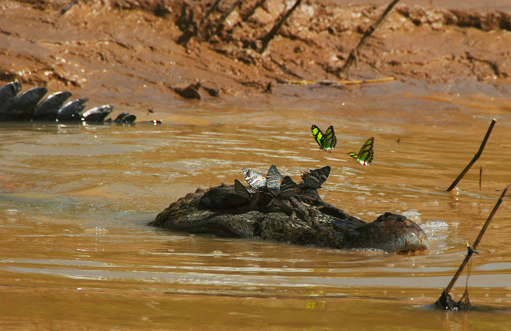
Black caiman. Image credit: Whaldener Endo, Creative Commons
There are 88 species of snakes and 30 species of lizards. Large reptiles in the area include black caimans, yellow side-necked turtles, and anacondas. Large fish live in these whitewater rivers and will enter the flooded forest eating and dispersing fruits from the floodplain trees. Some examples are tambaqui, arapaima, dusky narrow-hatchetfish, and smaller piranha. Many beautiful aquarium fish come from this region as well. These include angelfish, discus fish, neon tetra, and small catfish.
Today much of the várzea is used for agriculture and managed forest by smallholder farmers, but they tend to maintain biologically diverse agroecosystems. Hence, much of the forest is managed or unmanaged secondary forest. The Pacaya-Simiria National Reserve near Iquitos covers more than 20,000 km2. The Tambopata Biological Station also protects a small area of várzea in Peru. The várzea forest is a critical habitat for reproductive and nursery grounds for fishes and many invertebrates.
Habitat loss is the main threat to this region. Hunting for subsistence and local markets is depleting important wildlife, especially along the accessible river systems, near villages and mining and logging camps. Contamination of rivers and fish by gold mining and heavy sedimentation resulting from forest destruction threaten the várzea biota and habitat. Large patches of floodplain forests are cleared and burned to encourage native grass regeneration for livestock grazing, and in the process destroy important habitat and food for fish.
The priority conservation actions for the next decade will be to: 1) foster the integration of natural resource management into local agriculture practices and cattle ranching; 2) regulate access of the logging and mining industries; and 3) create national parks in the area to expand habitat protection.
Citations
1. Sears, R. 2018. Seasonally flooded river basins of Brazil, Peru and Bolivia https://www.worldwildlife.org/ecoregions/nt0128 Accessed August 1, 2018
2. Bodmer, R.E. and E.P. Lozano. 2001. Rural development and sustainable wildlife use in Peru. Conservation Biology 15 (4): 1163-1170.
3. Puhakka, M., and R. Kalliola. 1993. La vegatación en areas de inundación en la selva baja de la Amazonia Peruana. Pages 111-138 in R. Kalliola, M. Puhakka, and W. Danjoy (editors), Amazonia Peruana: vegetación húmeda tropical en el llano subandino. Turku: PAUT and ONERN.
4. Reeves, R.R., Jefferson, T.A., Karczmarski, L., Laidre, K., O’Corry-Crowe, G., Rojas-Bracho, L., Secchi, E.R., Slooten, E., Smith, B.D., Wang, J.Y. & Zhou, K. 2011. Inia geoffrensis. The IUCN Red List of Threatened Species 2011: e.T10831A3220342. http://dx.doi.org/10.2305/IUCN.UK.2011-1.RLTS.T10831A3220342.en. Accessed August 1, 2018.


