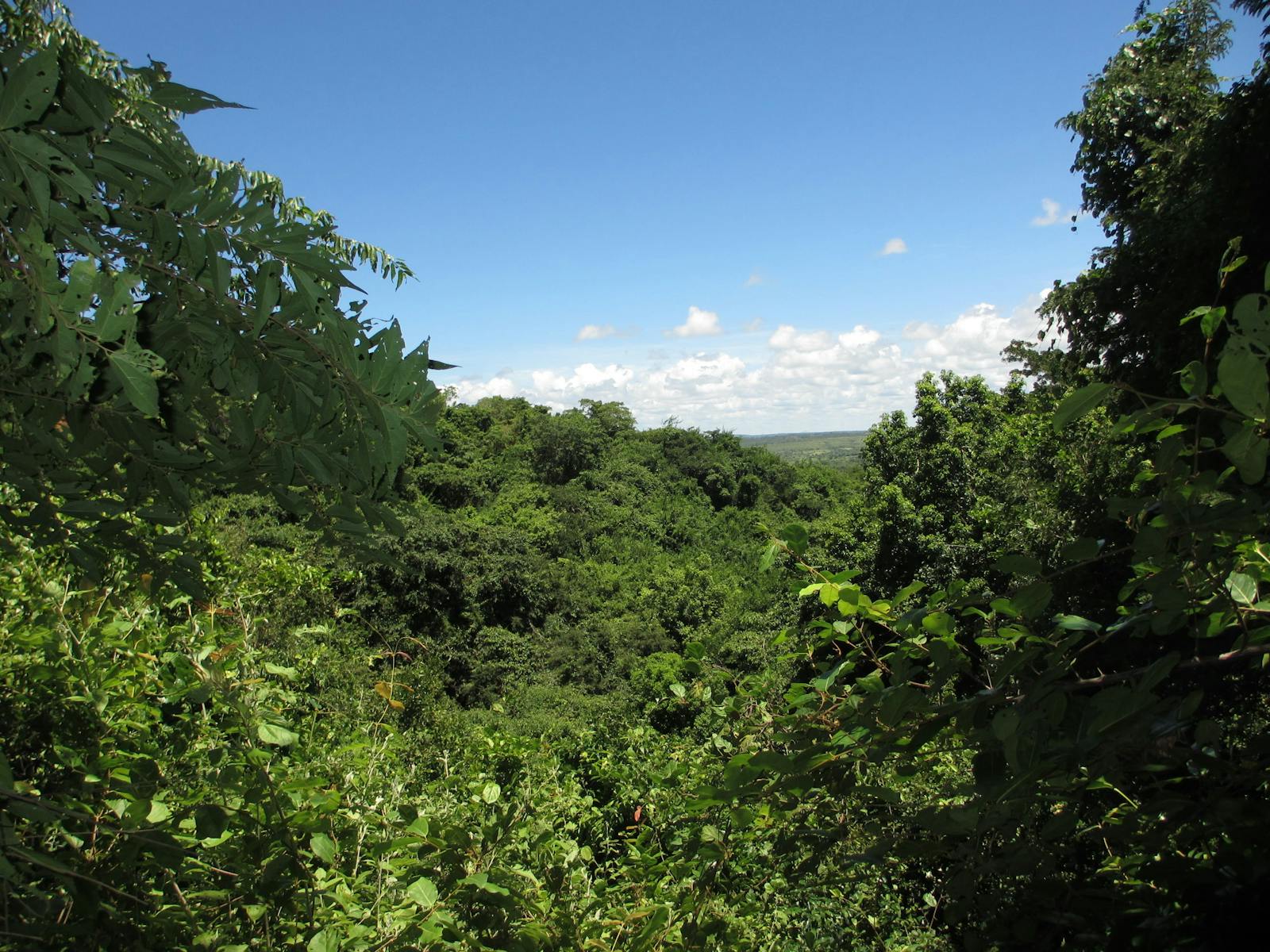
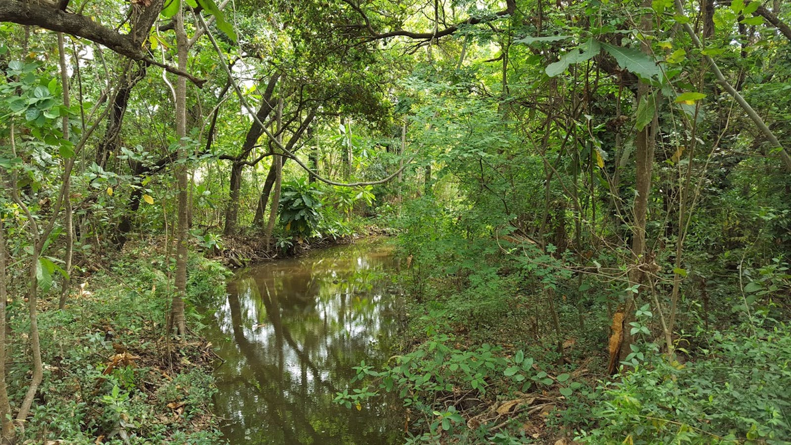
Kwazulu Natal-Cape Coastal Forests
The ecoregion’s land area is provided in units of 1,000 hectares. The protection goal is the Global Safety Net (GSN1) area for the given ecoregion. The protection level indicates the percentage of the GSN goal that is currently protected on a scale of 0-10.
Bioregion: East African Coastal Forests (AT7)
Realm: Afrotropics
Ecoregion Size (1000 ha):
1,101
Ecoregion ID:
16
Conservation Target:
9%
Protection Level:
3
States: South Africa
The Ngoye forest, a remnant of ancient scarp forest, was the only and last remaining home to the giant Wood’s cycad which is now extinct in the wild. However, other cycads are still present in this tropical forest, including the ngoye cycad and natal grass cycad. A large number of plants are endemic or near-endemic to the sandstone outcrops, and these taxa comprise a significant proportion of the endemics of the Maputaland Pondoland Albany Hotspot.
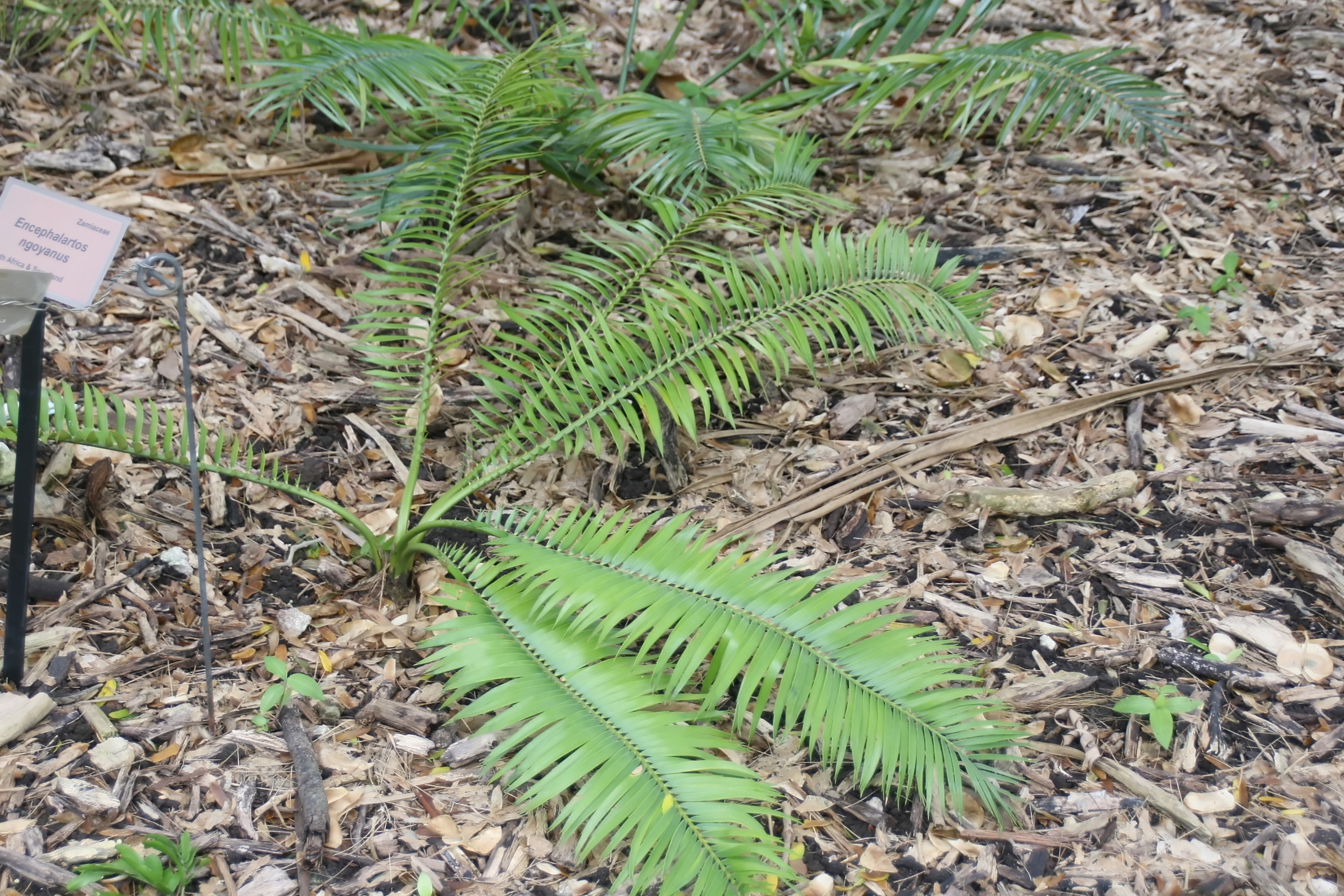
The flagship species of the Kwazulu Natal-Cape Coastal Forests ecoregion is the ngoye cycad. Image credit: Creative Commons
The ecoregion extends south along the eastern South African coastline from Cape St Lucia to Cape St Francis. The ecoregion is around 450 m in altitude and more steeply rolling in the north, falling to 350 m altitude and more gently rolling to the south. The coastal plain of Kwazulu-Natal has a subtropical climate and lacks frosts. Further south, frosts occur but the proximity to the sea moderates both winter and summer temperature regimes. Mean maximum temperatures range between 15° and 24°C, and mean minimum temperatures between 10° and 15°C. Rainfall in the north ranges between 900 mm to 1,500 m per annum and falls in the summer, with lower rainfall in the south falling during the winter.
This ecoregion includes dune, swamp, riverine, sand, coastal lowland and scarp forest. Common trees in lowland include Millettia grandis and Protorhus longifolia, and shrubs and climbers such as Uvaria caffra, Dalbergia obovata, and Tricalysia lanceolata. Principle trees in dune forests include Mimusops caffra, Euclea natalensis, and Psydrax obovata.
-CC-Charles%20Sharp-2018_resized.jpg)
Black backed Jackal. Image credit: Charles Sharp, Creative Commons
This coastal belt supports a rich flora of about 3,000 species, with approximately 40 percent of larger woody species considered endemic to the region. The vulnerable Ngoye Cycad is present in the Ngoye forest and populations appear to be declining. As the ecoregion is a mosaic of forest and thornveld, the ecoregion is rich in faunal species that live in both elements. Around 100 species of mammals occur, including the endemic Sclater's tiny mouse shrew, near-endemic Duthie’s golden mole, and giant golden mole. Rare bird species are primarily confined to the forest components of the ecoregion, but there are no strictly endemic species. Birds that are found only in forests and bushlands of the southern African coasts, include the brown scrub-robin, Knysna turaco, Knysna woodpecker, Knysna scrub-warbler, Chorister robin-chat, and forest canary. In the reptiles the Transkei dwarf chamaeleon, Günther's burrowing skink, the variable legless skink, and the peringueyi’s coastal leaf-toed gecko are all regarded as strictly endemic to this ecoregion.
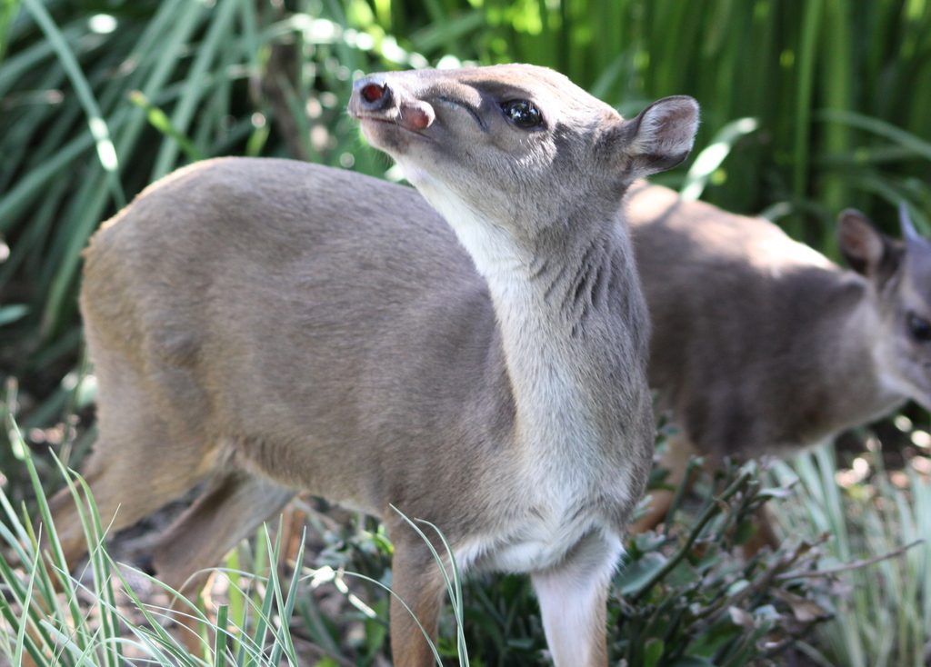
Blue diker. Image credit: Derek Keats, Creative Commons
A few large forest complexes are found within large areas of non-forest, but the majority of remaining vegetation is found in small, isolated patches which is little more than half of its previous extent. There are a large number of small reserves that are not interconnected including the Amatikulu Nature Reserve, Vernon Crookes Nature Reserve, Mbumbai Nature Reserve, as well as Hluleka Wildlife Reserve. Other areas of natural habitat are protected in private and tribal areas, and in conservancies and natural heritage sites. While this conservation network protects elements of the ecoregion, it still does not adequately conserve large intact blocks of forest and interspersed thornveld as single units.
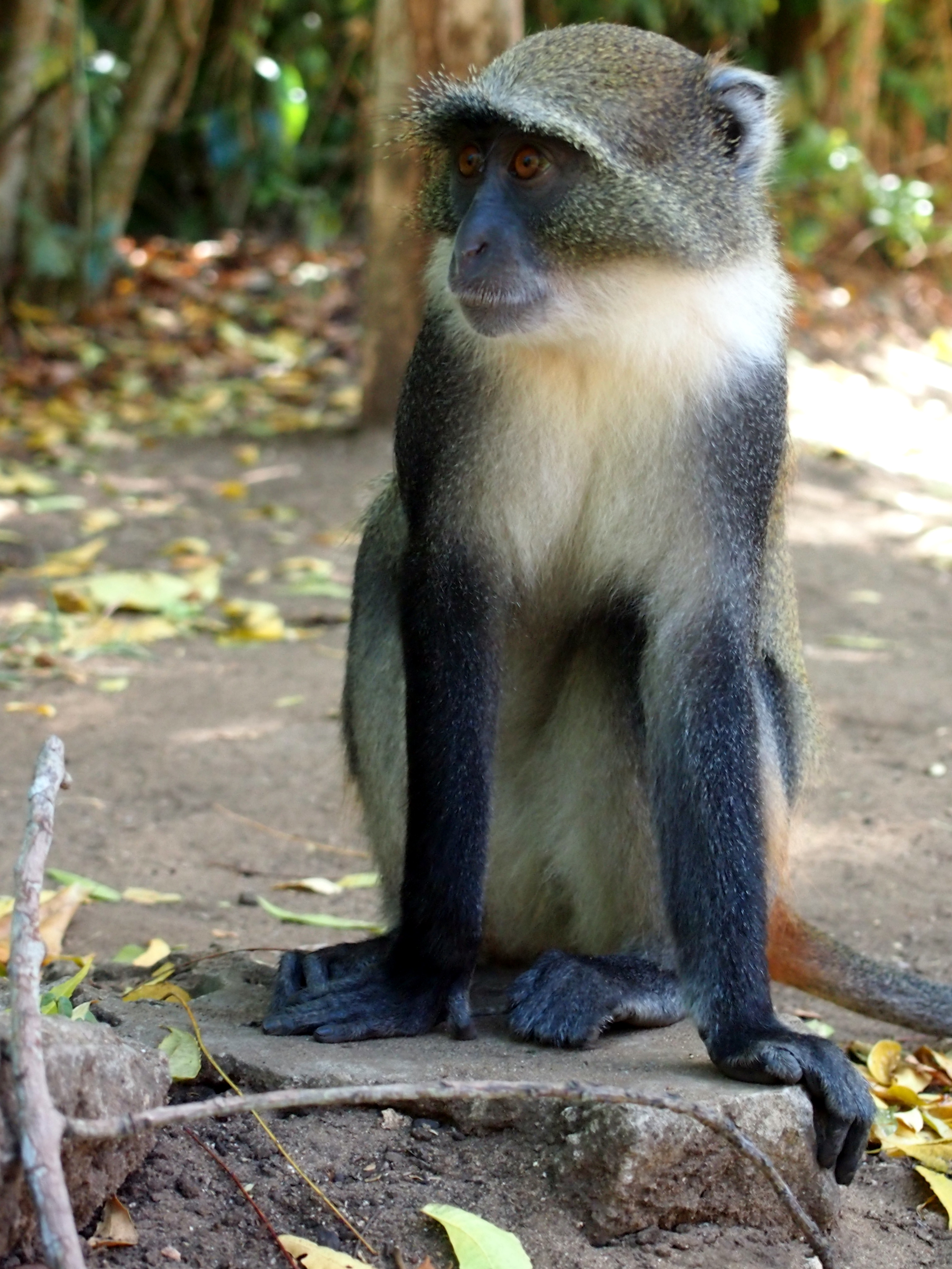
Skye's monkey. Image credit: Creative Commons
The natural fragmentation of the forests has been aggravated by land use practices such as clearing for agriculture, forestry, subsistence utilization, and burning practices for grazing and improved water runoff in catchments. Much of the northern, inland distribution of forest, particularly the thicket component, has been replaced by sugarcane. ‘Informal’ housing is also an ever-increasing threat to the integrity of the ecoregion. Disturbance to dunes includes mining and holiday resort expansion. Fast-growing alien plant species such as Casuarina equisetifolia also invade disturbed habitats. Climate change is a growing threat and future predictions suggest that dune, sand, riverine, and swamp forests in this ecoregion will disappear due to their confinement to their substrate which prevents migration as a response to climate change. A greater area of land is suitable for lowland forests in climate change predictions allowing an increase in their extent. However, most of this land is not protected and has been converted to sugarcane plantations preventing migration.
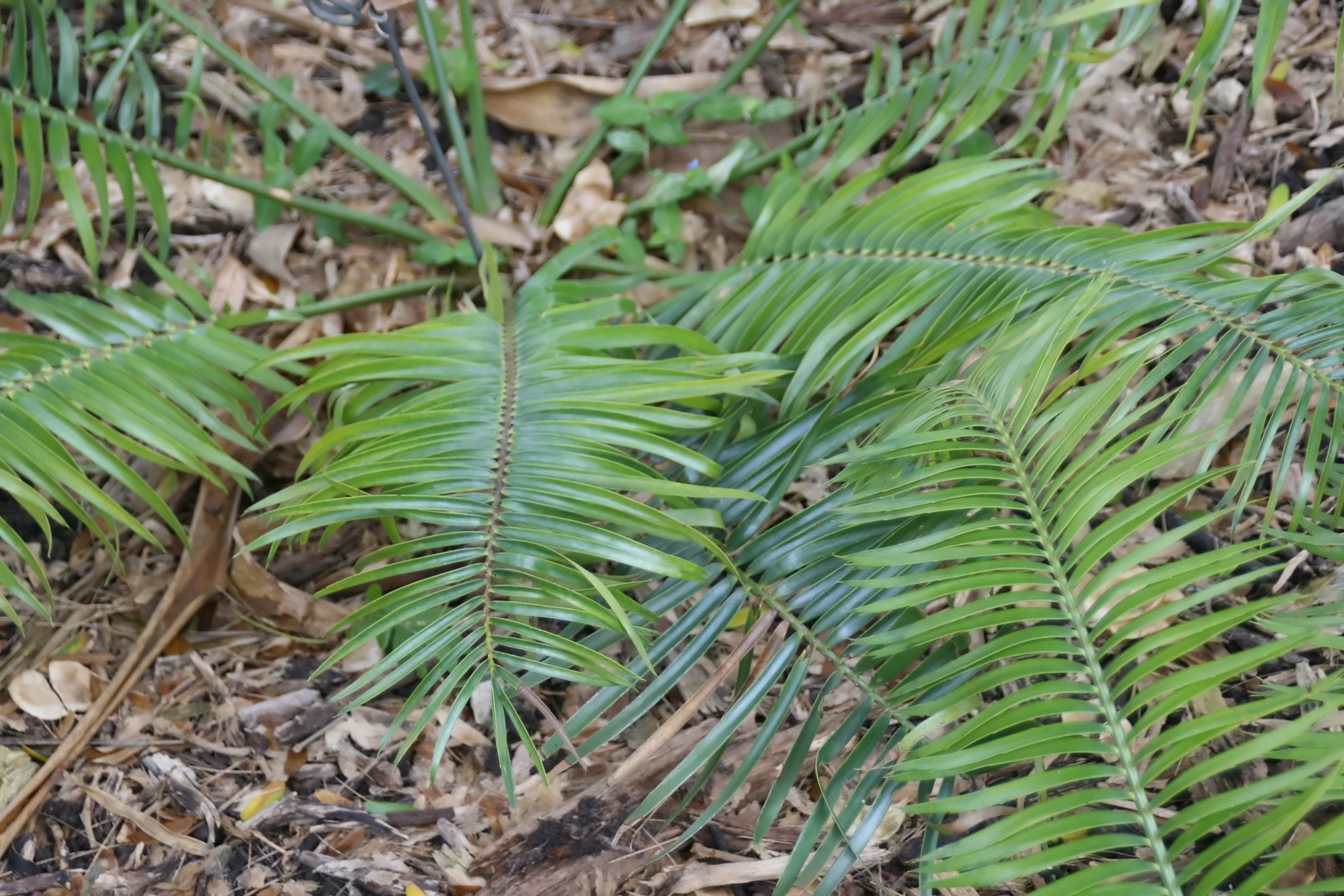
Ngoye cycad. Image credit: Creative Commons
The priority conservation actions for the next decade will be to: 1) develop the biodiversity economy to include sustainable alternative livelihoods for local communities to prevent degradation of natural habitats; 2) develop and implement initiatives to expand the private and communal protected area network which allows for the migration of forests due to climate change; and 3) integrate biodiversity priorities into management plans for industry including agriculture, mining, and forestry.
Citations
1. Burgess, N., Hales, J.A., Underwood, E., Dinerstein, E., Olson, D., Itoua, I., Schipper, J., Ricketts, T. and Newman, K. 2004. Terrestrial ecoregions of Africa and Madagascar: a conservation assessment. Island Press.
2. Republic of South Africa. 2015. South Africa’s 2nd National Biodiversity Strategy and Action Plan 2015-2025. Pretoria: Department of Environmental Affairs.
3. CEPF. 2010. Ecosystem Profile: Maputaland-Pondoland-Albany biodiversity hotspot. [Online]. [Accessed 25 January 2018]. Available from: https://www.cepf.net/sites/default/files/final_mpah_ep_1.pdf
4. Eeley, H., Lawes, M.J. and Piper, S.E. 2002. The influence of climate change on the distribution of indigenous forest in KwaZulu-Natal, South Africa. Journal of Biogeography. 26(3), pp.595-617.
