Meghalaya Subtropical Forests
The ecoregion’s land area is provided in units of 1,000 hectares. The conservation target is the Global Safety Net (GSN1) area for the given ecoregion. The protection level indicates the percentage of the GSN goal that is currently protected on a scale of 0-10. N/A means data is not available at this time.
Bioregion: North Indian Tropical Forests & Sundarbans (IM6)
Realm: Indomalaya
Subrealm: Indian Subcontinent
Ecoregion Size (1000 ha):
4,180
Ecoregion ID:
244
Conservation Target:
41%
Protection Level:
0
States: India
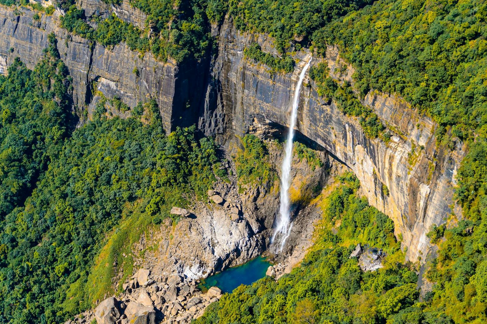
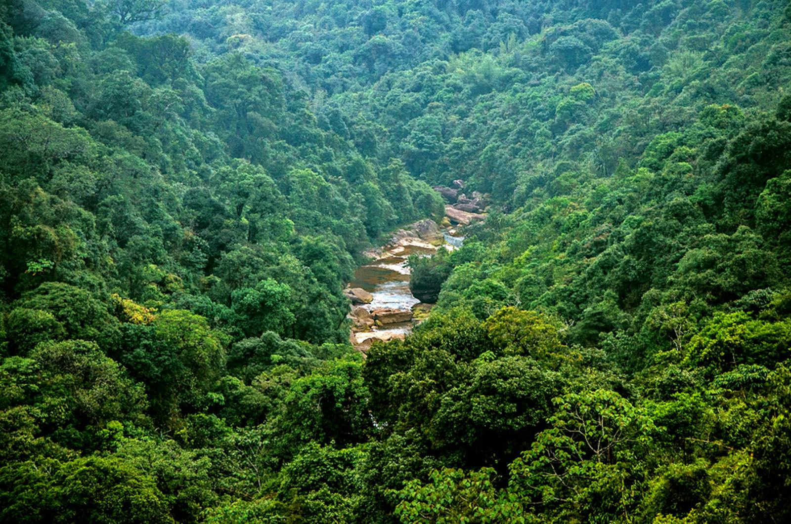
The lush forests of the Meghalaya Subtropical Forests ecoregion are influenced by rainfall; the Meghalaya hills are one of the wettest regions of Asia, receiving over 11 meters of rain in a single year. Thus, the forests have an extremely rich flora, and the Khasi-Jaintia Hills here were once described as one of the richest botanical habitats of Asia. For example, the Khasi Hills, in the middle of the ecoregion, support over 75 orchid genera represented by more than 260 species.
The flagship species of the Meghalaya Subtropical Forests ecoregion is the magnolia rabaniana.
These hills are also believed to be the center of diversity for many primitive trees. As an example, members of the ancient tree family Magnoliaceae have fossils dating back to over 95 million years, several of which were found in these hills. One species, Magnolia rabaniana, was rediscovered in the Khasi Hills after 100 years, and now, its entire known population consists of 65 plants from 5 sites.
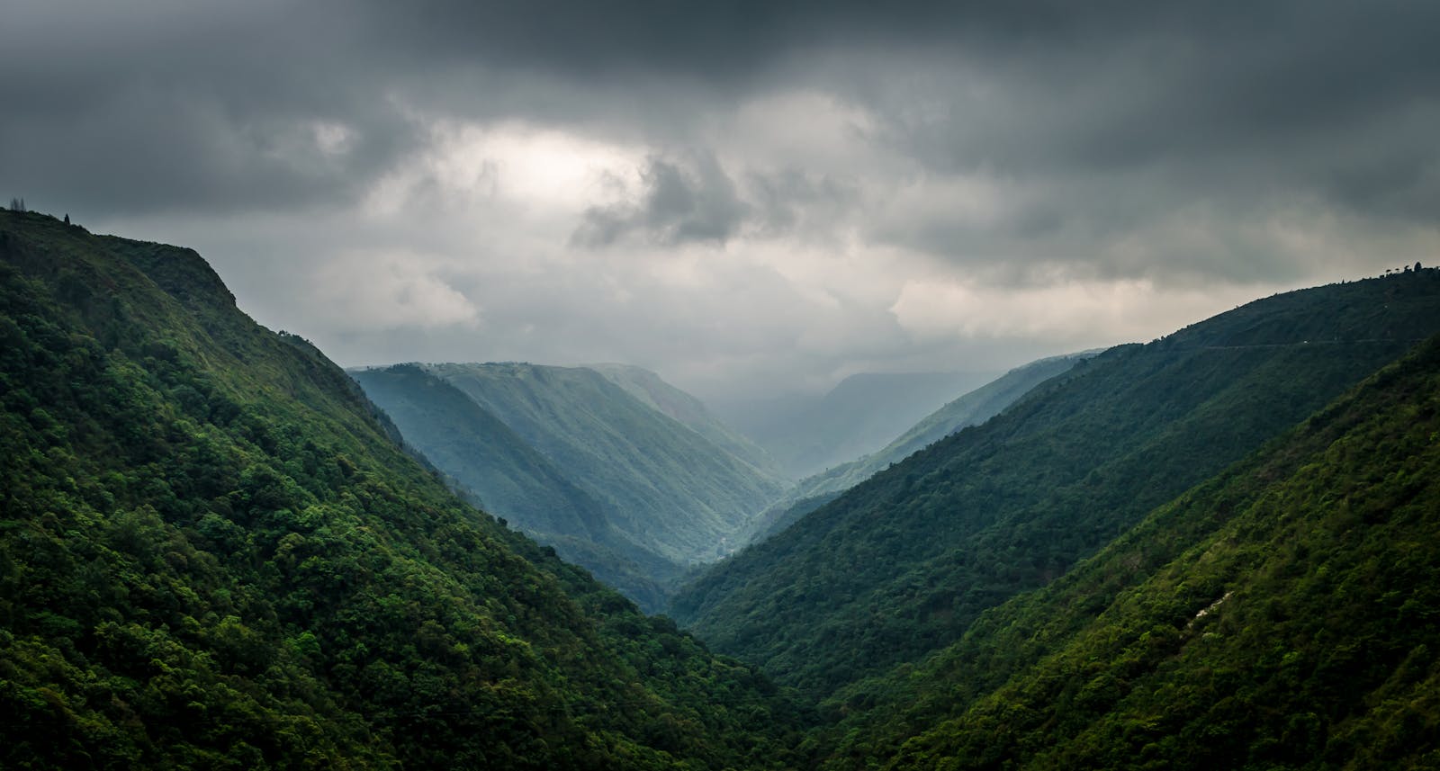
The ecoregion represents the subtropical forests of the Khasi and Garo hills of the Indian State, Meghalaya, which literally means ‘abode of clouds’. The hills are not tall relative to other adjacent mountains, only rising to about 1,800 m. But they are high enough to intercept the monsoon winds that sweep in from the Bay of Bengal and create high rainfall, cloud cover, and mist.
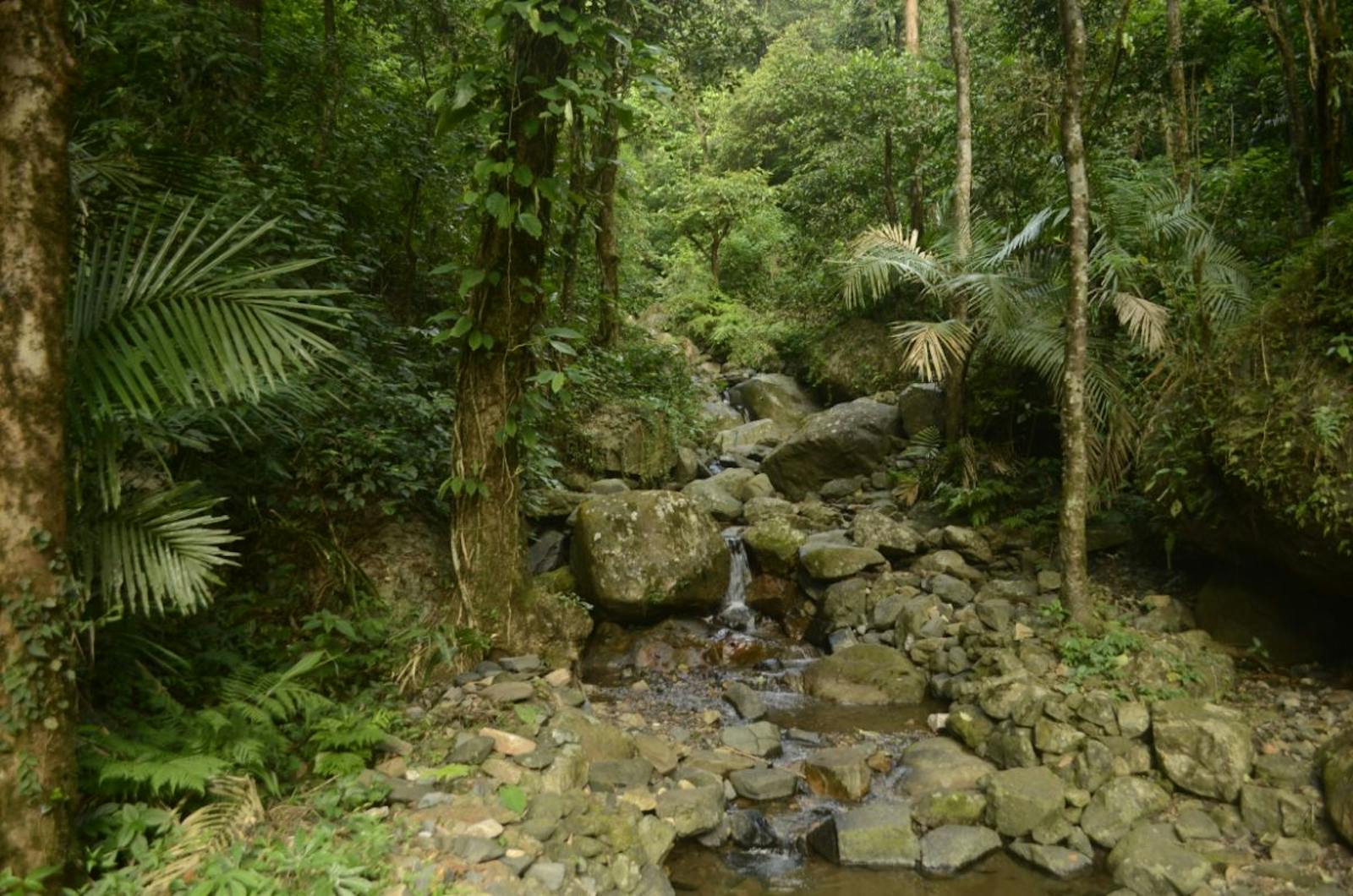
The characteristic forest tree genera are Bischofia, Mesua, Castonopsis, Pterospermum, and Acrocarpus in the wetter areas, transitioning into Eleocarpus, Dillenia, Terminalia, Tetrameles, and Schima in drier areas. The hill tops have patches of grasslands and temperate forests with Lithocarpus, Castanopsis, and Quercus trees. Mature forests have a dense undergrowth of bamboos and canes, and the trees are draped with lianas and festooned with epiphytes. The ecoregion is a ‘hotspot’ of endemic plants; over 70 of 142 rare plants in the Garo Hills and Jaintia Hills, are endemic.
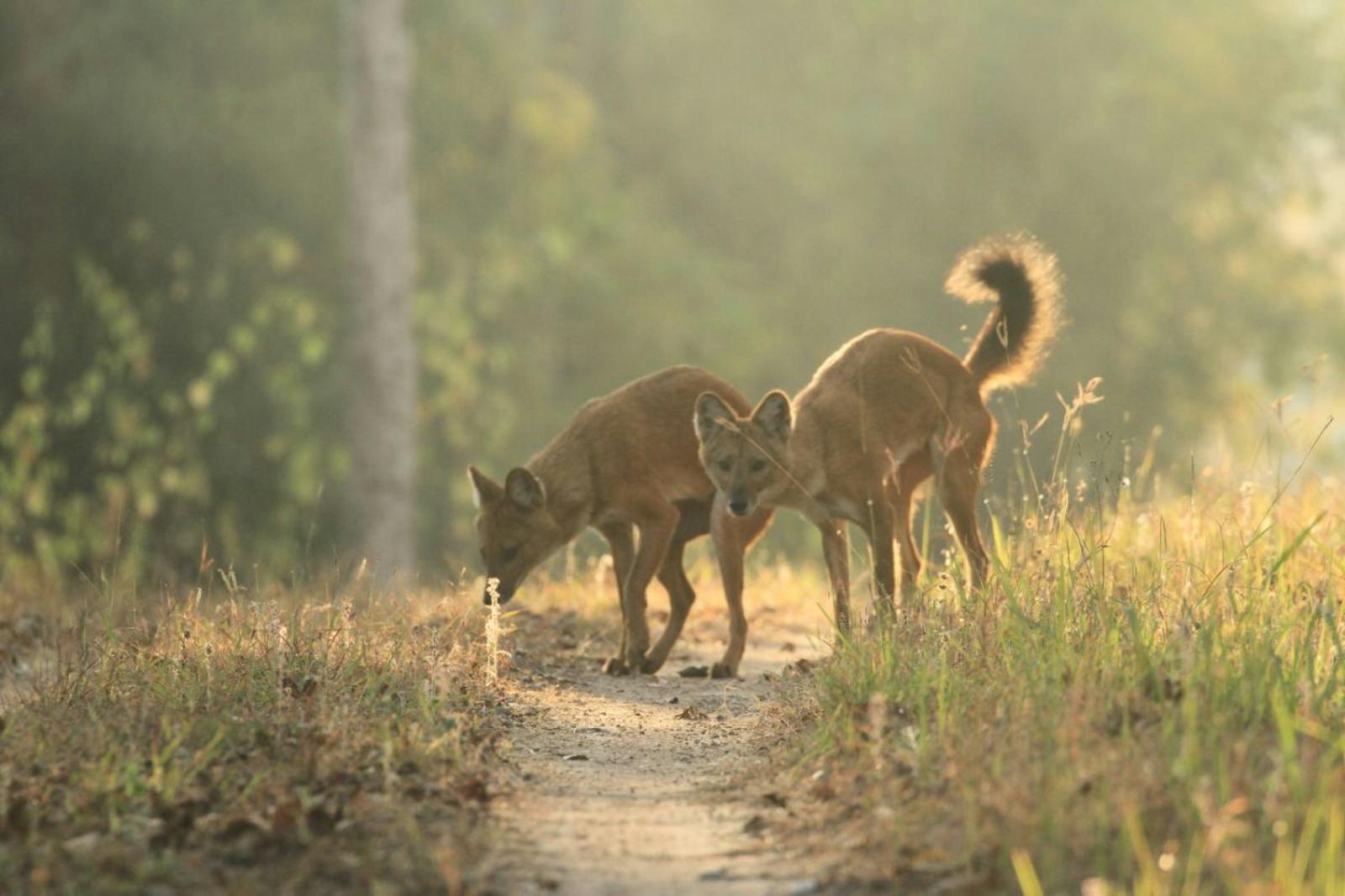
Over 110 mammal species are known from this ecoregion. The tiger, one of India’s premier flagship species, is thought to have entered the subcontinent from the north through here. Other species of conservation importance are clouded leopard, Asian elephant, wild dog, Malayan sun bear, sloth bear, Chinese and Indian pangolins, and hoolock gibbon.
In addition to these large mammals, the ecoregion has a rich representation of bats and smaller carnivores such as civets, mongooses, and weasels. The bird fauna is richer, with more than 450 species. These include several threatened species such as the rufous-necked hornbill, white-winged duck, Pallas’s fish-eagle, marsh babbler, tawny-breasted wren-babbler, Manipur bush-quail, black-breasted parrotbill to name but a few.
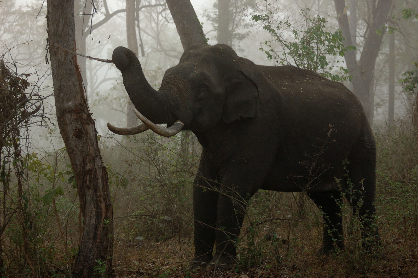
Asian elephant. Image credit: Kalyan Varma, Creative Commons
The belief in forest deities is very strong among the tribal Khasis, Garos, and Jaintias, and many forest groves are held sacred and protected. These sacred groves are rich repositories of the ecoregion’s biodiversity, and refugia for relict species that have evolved here for millions of years. Thus, although formal protected areas cover only 456 km2, over 90% of the ecoregion’s land is owned by communities and receive protection.
However, the gradual loss of traditional believes over generations could lead to less protection to these sites in the near future. Because Meghalaya is rich in natural resources, including coal and uranium, and has tremendous hydropower generation potential, there could be more pressure to exploit these resources, leading to the degradation of the forests and biodiversity. As it is, over two-thirds of the natural forests have been cleared or degraded.
Recommended conservation priorities are to:
- Incorporate community-owned sites of traditional and conservation significance with formal protected areas in the ecoregion to form conservation networks.
- Promote socio-economic benefits through community-based conservation to incentivize the protection of natural habitats.
- Reduce the dependence on shifting cultivation on steep slopes and areas that support endemic or threatened species.
-
-
1. Wikramanayake, E, E. Dinerstein, et al. 2002. Terrestrial Ecoregions of the Indo-Pacific: A Conservation Assessment. Island Press.
2. Critical Ecosystems Partnership Fund. 2012. Ecosystem Profile. Indo-Burma Biodiversity Hotspot. 2011 Update. https://www.cepf.net/Documents/final.indoburma_indochina.ep.pdf Accessed Dec 2017.
3. Upadhaya, K., Pandey, H.N., Law, P.S. and Tripathi, R.S., 2003. Tree diversity in sacred groves of the Jaintia hills in Meghalaya, northeast India. Biodiversity & Conservation, 12(3), pp.583-597. -
Cite this page: Meghalaya Subtropical Forests. Ecoregion Snapshots: Descriptive Abstracts of the Terrestrial Ecoregions of the World, 2021. Developed by One Earth and RESOLVE. https://www.oneearth.org/ecoregions/meghalaya-subtropical-forests/
-
