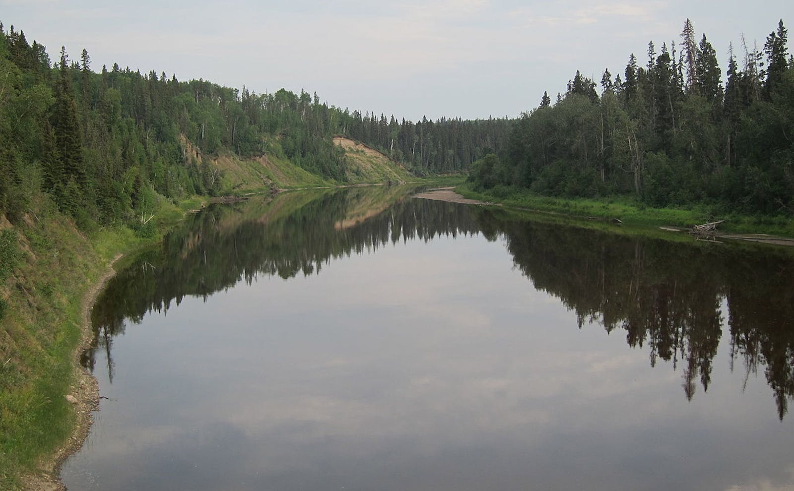
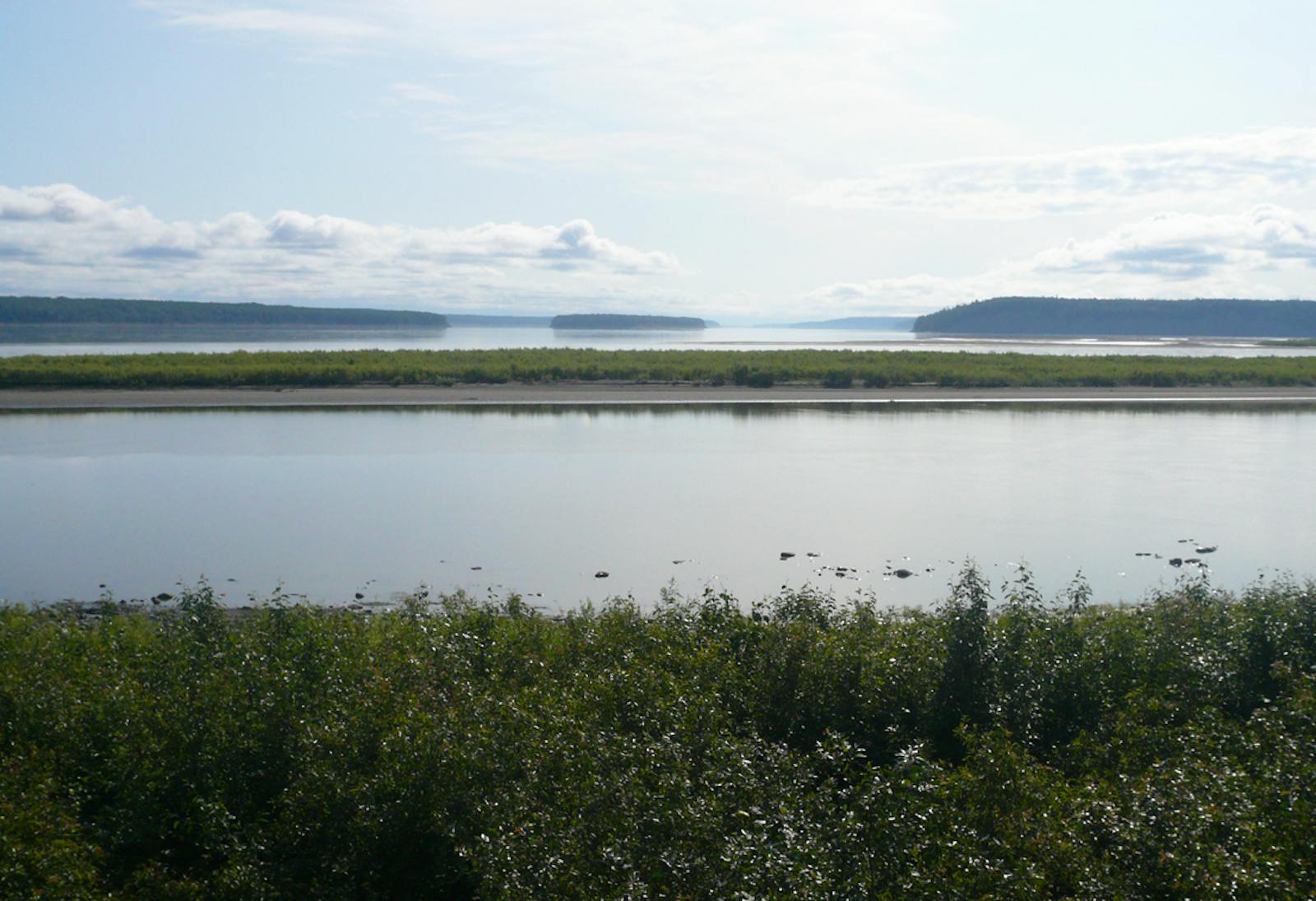
Muskwa-Slave Lake Taiga
The ecoregion’s land area is provided in units of 1,000 hectares. The conservation target is the Global Safety Net (GSN1) area for the given ecoregion. The protection level indicates the percentage of the GSN goal that is currently protected on a scale of 0-10. N/A means data is not available at this time.
Bioregion: Northwest Canadian Taiga, Lakes, & Wetlands (NA7)
Realm: Subarctic America
Ecoregion Size (1000 ha):
29,792
Ecoregion ID:
378
Conservation Target:
93%
Protection Level:
2
States: Canada: AB, BC, NT, YT
The Muskwa-Slave Lake Taiga ecoregion is an area of extremely high ecological importance. The most significant feature of this ecoregion is arguably Wood Buffalo National Park, which at 44,807 km2 is the largest national park in Canada and the second largest national park in the world. It contains the world’s largest herd of wood bison and the largest and only natural breeding population of the endangered whooping crane. The park also contains one of the world’s largest freshwater deltas, the Peace-Athabasca Delta.
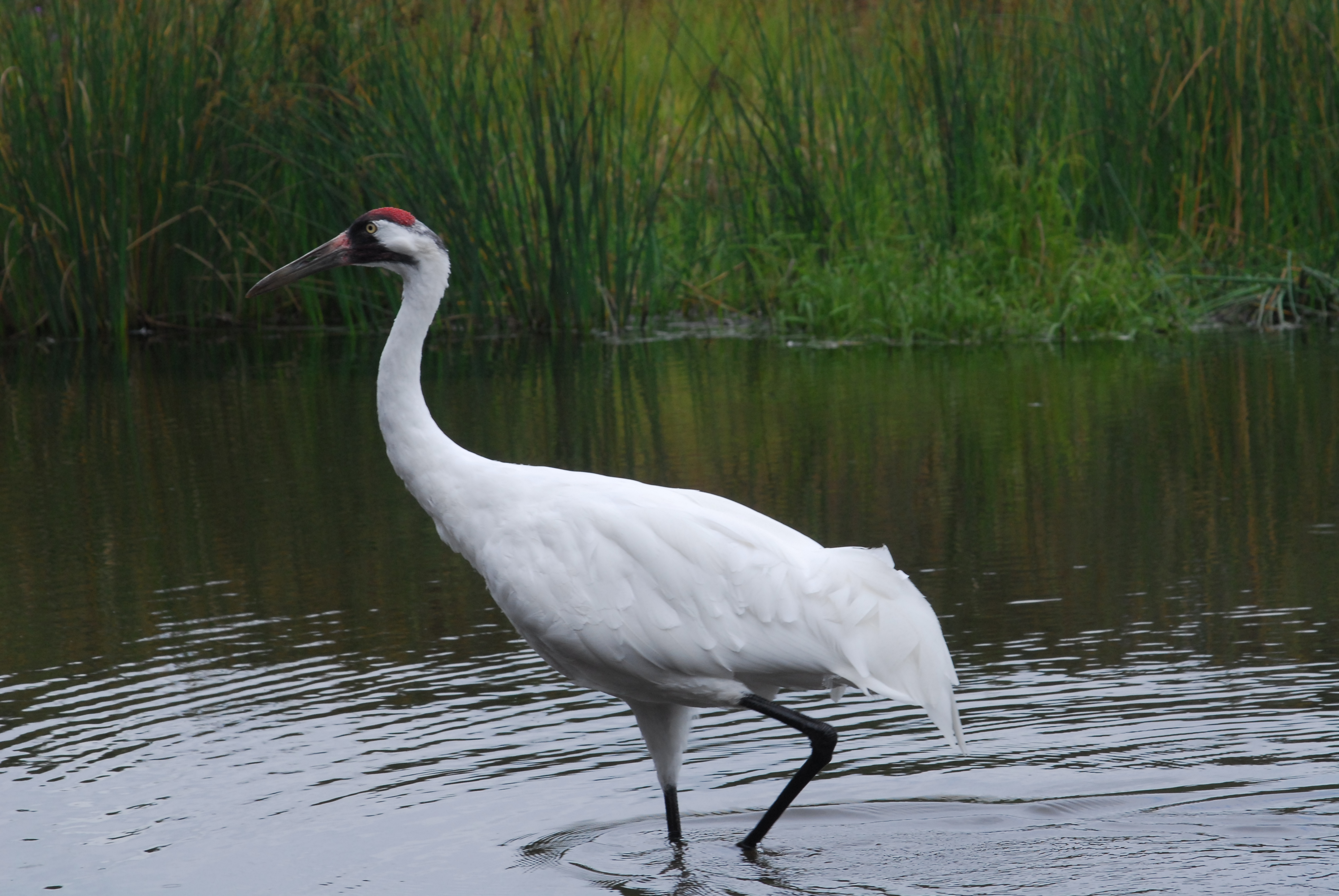
The flagship species of the Muskwa-Slave Lake Taiga ecoregion is the whooping crane. Image credit: Creative Commons
Lying at the junction of northern Alberta, northeastern British Columbia, southwestern Northwest Territories (including the Mackenzie River Valley), and a small corner of southeastern Yukon Territory, the ecoregion encompasses about half of Great Slave Lake and its southern shore, all of Wood Buffalo National Park, and westward to the foothills of the northern Rocky Mountains and southern Mackenzie Mountains.
It is bounded on the west by the Northern Cordillera Forests, Watson Highlands Taiga, and Ogilvie-Mackenzie Alpine Tundra ecoregions, on the north by the Northwest Territories Taiga, on the north and east by the Northern Canadian Shield Taiga ecoregion, on the southeast by the Midwest Canadian Shield Forests ecoregion (and Lake Athabasca), and on the south by the Mid-Canada Boreal Plains Forests and Alberta-British Columbia Foothills Forests ecoregions.
The climate of the Muskwa-Slave Lake Taiga ecoregion is subhumid mid to high boreal with cool to warm summers and very cold winters. The average winter temperature ranges from -24.5ºC to -18ºC and the average summer temperature is about 12.5ºC. Average annual precipitation ranges from 250 mm to 500 mm. The dominant forest vegetation is relatively tall and closed stands of quaking aspen, white spruce, and balsam fir, with smaller amounts of balsam poplar and black spruce.
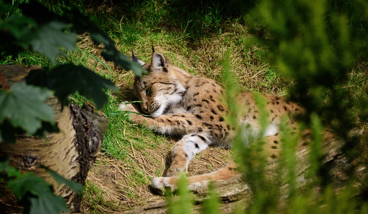
Lynx. Image credit: Matt Wall, Creative Commons
Peatlands feature open stands of mostly black spruce, with some birch and various shrubs, mostly in the heath family. The peatlands, in particular, have discontinuous permafrost below their organic soil. About 20–50% of a typical landscape is covered by bogs and other wetlands. Lightning fire is a significant factor across the ecoregion and maintains a shifting mosaic of post-fire successional stages.
This ecoregion supports one of the most intact and diverse large mammal communities in North America, including woodland caribou, wood bison, moose, wolf, grizzly bear, black bear, wolverine, and lynx, in addition to smaller-bodied species such as snowshoe hare, marten, and beaver. The world’s longest known beaver dam—about 850 m in length—was discovered in Wood Buffalo National Park in 2007. The park also contains the northernmost known population of red-sided garter snakes, which winter together in huge communal dens.
Notable birds include whooping crane, sandhill crane, ruffed grouse, and great grey owl. The number of breeding bird species, as well as species strongly dependent on boreal forest, in this ecoregion and adjacent ecoregions is the highest in the entire Canadian boreal zone. Great Slave Lake, a remnant of the glacial Lake McConnell, is the deepest lake in North America (614 m), surpassing Crater Lake in Oregon (594 m).
Nine species of colonial water birds breed on Great Slave Lake. In order of declining abundance, they are California gull, herring gull, common tern, mew gull, Arctic tern, Ring-billed gull, Caspian tern, parasitic jaeger, and Bonaparte’s gull, in addition to black tern in nearby marshes. The Great Slave Lake is the only location in North America where these 10 species occur together.
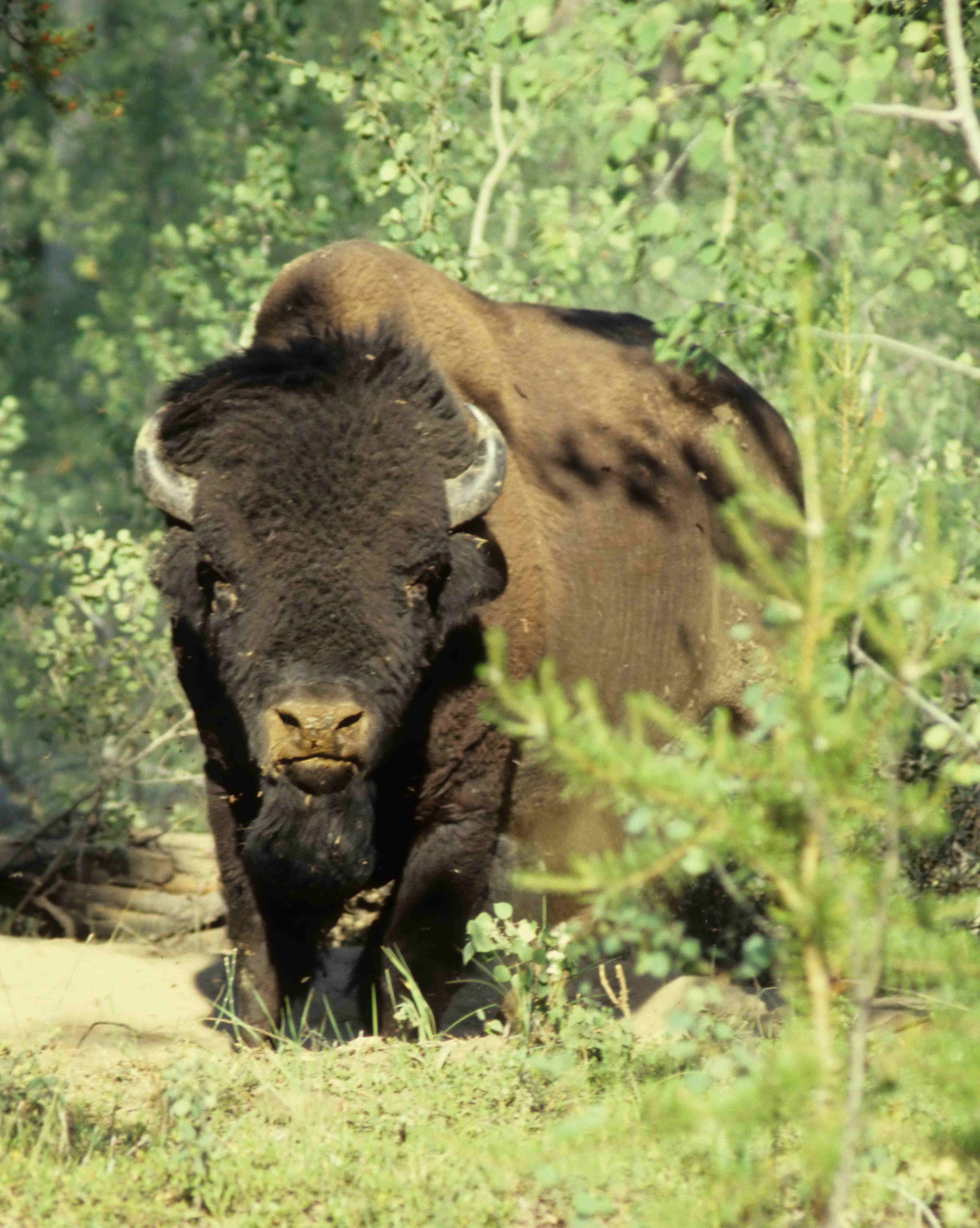
Wood buffalo. Image credit: Ansgar Walk, Creative Commons
About 20% of this ecoregion is protected, which is far too low for such an important ecoregion, and an additional 46% of habitat outside protected areas is still basically intact. However, logging and oil and gas production are serious threats. Seismic lines fragment the landscape in northern British Columbia and Alberta.
The priority conservation actions for the next decade are to: 1) protect remaining intact blocks of forest, roadless areas, and undeveloped rivers and lakes; 2) greatly increase federal and provincial designation of conservation lands; and 3) reduce the intensity of logging and oil and gas exploration and production outside protected areas.
Citations
1. Ricketts, T.H. et al. 1999. Terrestrial Ecoregions of North America: A Conservation Assessment. Island Press, Washington, D.C.
2. Wood Buffalo National Park. https://en.wikipedia.org/wiki/Wood_Buffalo_National_Park
3. Noss, R.F., K. Bennett, E. Butterworth, C. Francis, A. Couturier, P. Paquet, and K. Vance-Borland. 2002. Conservation Biology for Canada’s Boreal Forest. A project of the Canadian Boreal Trust (Pew Charitable Trusts). Conservation Science, Inc. Corvallis, OR.
