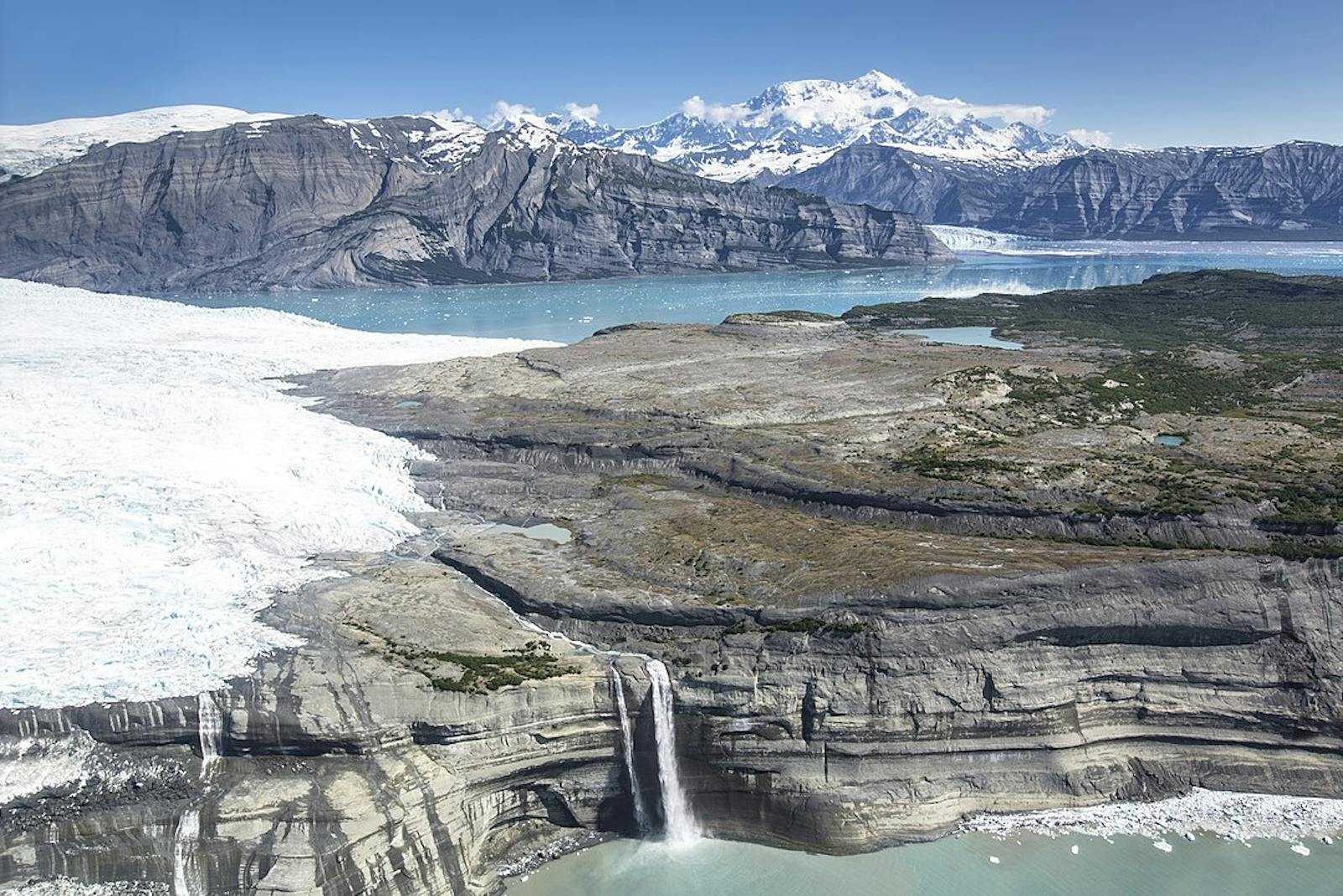
Pacific Coastal Mountain Icefields and Tundra
The ecoregion’s land area is provided in units of 1,000 hectares. The conservation target is the Global Safety Net (GSN1) area for the given ecoregion. The protection level indicates the percentage of the GSN goal that is currently protected on a scale of 0-10. N/A means data is not available at this time.
Bioregion: Far Northern Pacific Coast (NA5)
Realm: Subarctic America
Ecoregion Size (1000 ha):
10,632
Ecoregion ID:
420
Conservation Target:
79%
Protection Level:
5
States: United States: AK. Canada: BC, YT
The Pacific Coastal Mountain Icefields and Tundra ecoregion parallels the Northern Pacific Alaskan Coastal Forests ecoregion, all the way from its southeastern extent in the Alaska Panhandle and adjacent British Columbia to its western terminus on the Kenai Peninsula along the Gulf of Alaska coast. In addition to this arc-like distribution, pieces of the ecoregion are embedded at higher elevations within the Northern Pacific Alaskan Coastal Forests ecoregion.
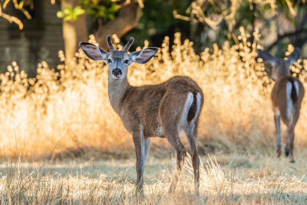
The flagship species of the Pacific Coastal Mountain Icefields and Tundra ecoregion is the black-tailed deer. Image credit: Creative Commons
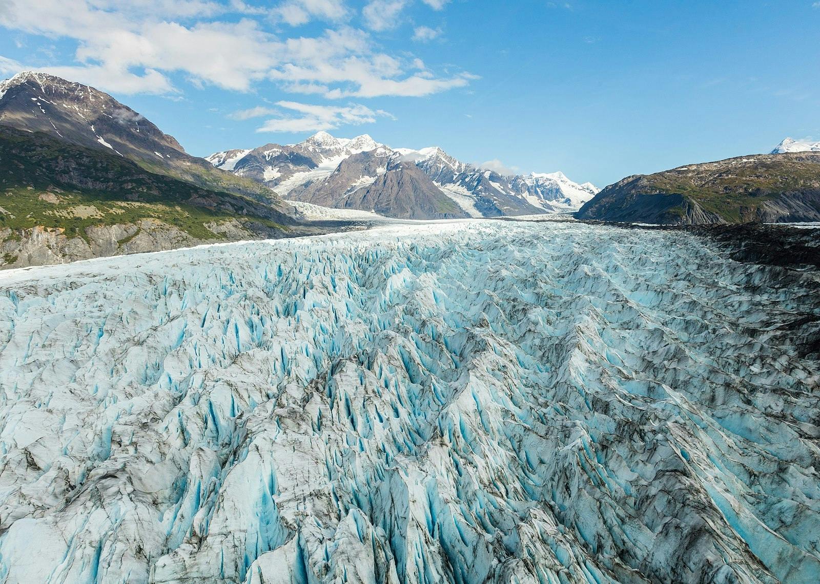
Most of the ecoregion is high-elevation, steep, and rugged, but it also includes some deep valleys and coastal areas. Elevations range from sea level to more than 4,500 m, with peaks up to 5,175 m (King Peak) and 5,959 m (Mount Logan, Canada’s highest peak). Slopes are often in the range of 7º to steeper than 20º. Extensive glaciers give this this ecoregion one of the largest nonpolar ice fields in the world.
Important protected areas in the ecoregion are Kenai Fjords National Park and portions of Wrangell-St. Elias National Park and Preserve, Kluane National Park and Reserve, and Glacier Bay National Park and Preserve. The binational Kluane-Wrangell-St. Elias-Glacier Bay-Tatshenshini-Alsek park system was designated a UNESCO World Heritage Site in 1979 for its glaciers and icefields as well as for its key habitat for several species.
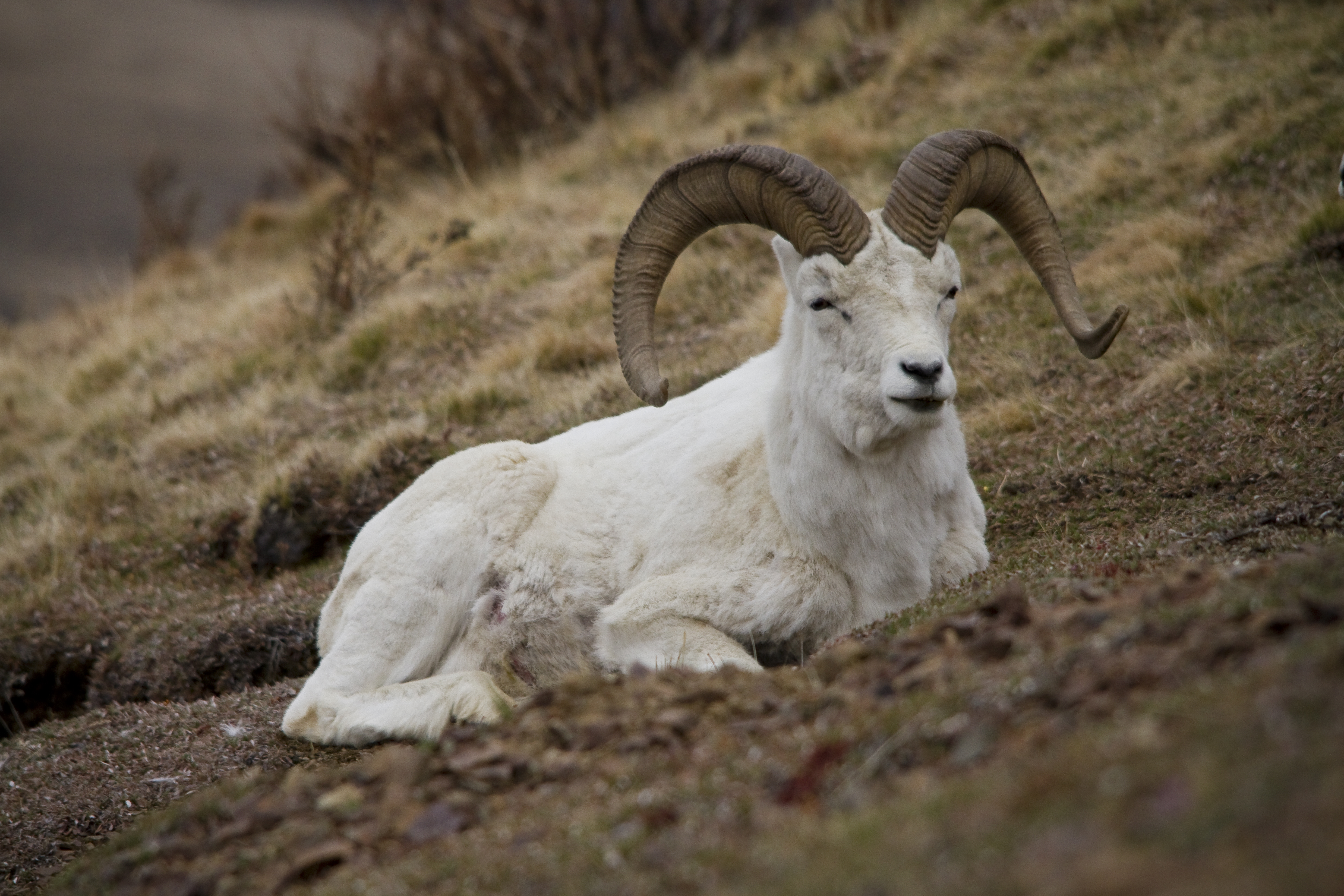
Dall sheep. Image credit: Jacob W. Frank, Creative Commons
The climate of this ecoregion is transitional between maritime and continental (alpine, subalpine, and maritime North Pacific cordilleran). Given the high mountains, the average annual temperature is only -0.5ºC, with summer temperatures averaging 10ºC and winter temperatures -11.5ºC. Lower elevations are warmer, especially along the coast. The influence of the Pacific Ocean results in high precipitation over much of the ecoregion, ranging from 1,000 mm in the eastern part of the ecoregion to 2,400 mm in the ice fields of the Fairweather Ranges, to 3,500 mm or more on Mount Logan. In alpine areas, most of this precipitation falls as snow. The highest elevations in this ecoregion are covered by ice and snow year-round and are devoid of vegetation.
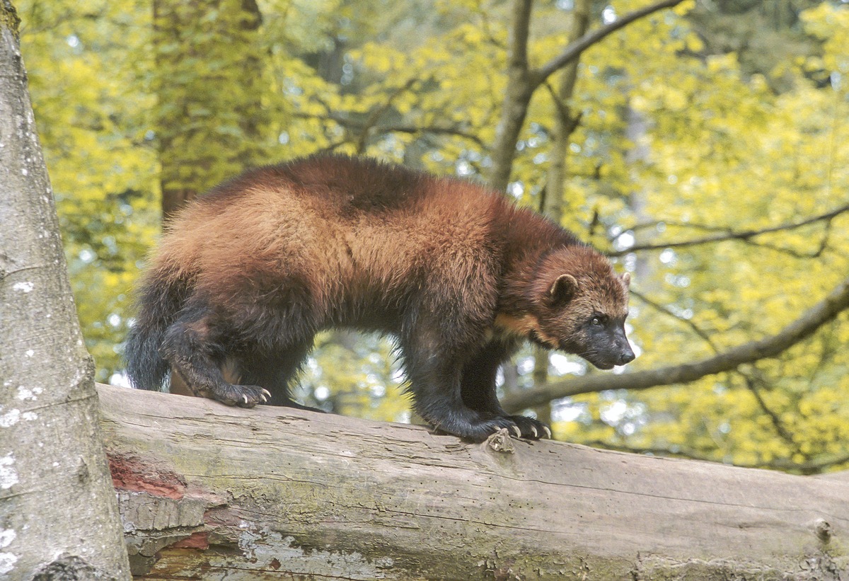
Wolverine. Image credit: William F Wood, Creative Commons
Tundra communities include dwarf and low shrub vegetation with mountain heath and other plants in the heath family. At Kenai Fjords the tree line is between 230 and 300 m above sea level, but is higher at lower latitudes within this ecoregion. Subalpine forests are composed of subalpine fir, mountain hemlock, and some Sitka spruce at middle elevations.
Lower elevations have more Sitka spruce as well as western hemlock in denser stands. The lowest, near-coastal locations have temperate rain forests, which in some areas extend up river valleys. On the Kenai Peninsula the forests are transitional between temperate rain forests and boreal forest and taiga more characteristic of interior Alaska.
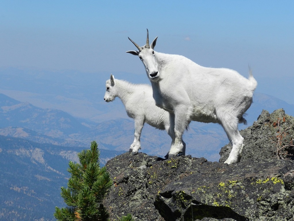
Mountain goats. Image credit: Courtesy US National Park Service
Characteristic terrestrial mammals found in this ecoregion include brown and black bear, wolf, coyote, moose, black-tailed deer, mountain goat, Dall sheep, lynx, river otter, mink, wolverine, red fox, hoary marmot, and porcupine. The lower river valleys are key habitat for black-tailed deer and serve as corridors that connect populations from coastal to interior areas.
Marine mammals include sea otter, harbor seal, Steller sea lion, Pacific white-sided dolphin, orca, minke whale, and humpback whale. Some typical terrestrial birds are bald eagle, golden eagle, spruce grouse, and several species each of woodpeckers, owls, and falcons, and others. Common marine birds are tufted and horned puffin, common and thick-billed murre, and marbled murrelet. The murrelet typically nests on horizontal branches of old-growth trees, as far as 80 km inland.
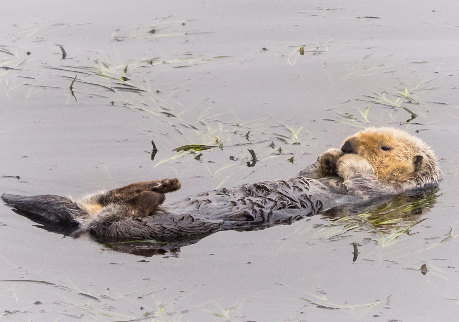
Sea otter. Image credit: Ingrid Taylar, Creative Commons
Altogether, some 78% of this ecoregion is intact—42% within protected areas and 36% outside of protected areas. Expansion of mining and associated roads is considered a major threat to this ecoregion, which has valuable mineral resources, including gold, silver, copper, and zinc, as well as oil, coal, and uranium. Intensive recreation and tourism also threaten sensitive wildlife.
Priority conservation actions for the next decade.
- Maintain the integrity of protected areas by not allowing incompatible uses.
- Limit expansion of mining and other intensive human activities in the ecoregion.
- Protect vulnerable wildlife from over-hunting and disturbance by tourists and recreationists.
-
-
1. Ricketts, T.H. et al. 1999. Terrestrial Ecoregions of North America: A Conservation Assessment. Island Press, Washington, D.C.
2. Gallant, A.L., E.F. Binnian, J.M. Omernik, and M.B. Shasby. 1995. Ecoregions of Alaska. USGS Professional Paper 1567. U.S. Govt. Printing Office, Washington, D.C.
3. Kenai Fjords National Park. https://en.wikipedia.org/wiki/Kenai_Fjords_National_Park -
Cite this page: Pacific Coastal Mountain Icefields and Tundra. Ecoregion Snapshots: Descriptive Abstracts of the Terrestrial Ecoregions of the World, 2021. Developed by One Earth and RESOLVE. https://www.oneearth.org/ecoregions/pacific-coastal-mountain-icefields-and-tundra/
-
.jpeg?auto=compress%2Cformat&w=1600)
.jpg?auto=compress%2Cformat&w=1600)
