Tibetan Plateau Alpine Shrublands and Meadows
The ecoregion’s land area is provided in units of 1,000 hectares. The conservation target is the Global Safety Net (GSN1) area for the given ecoregion. The protection level indicates the percentage of the GSN goal that is currently protected on a scale of 0-10. N/A means data is not available at this time.
Bioregion: Greater Tibetan Plateau Alpine Meadows & Shrublands (PA40)
Realm: Eastern Eurasia
Ecoregion Size (1000 ha):
27,273
Ecoregion ID:
768
Conservation Target:
54%
Protection Level:
9
States: China
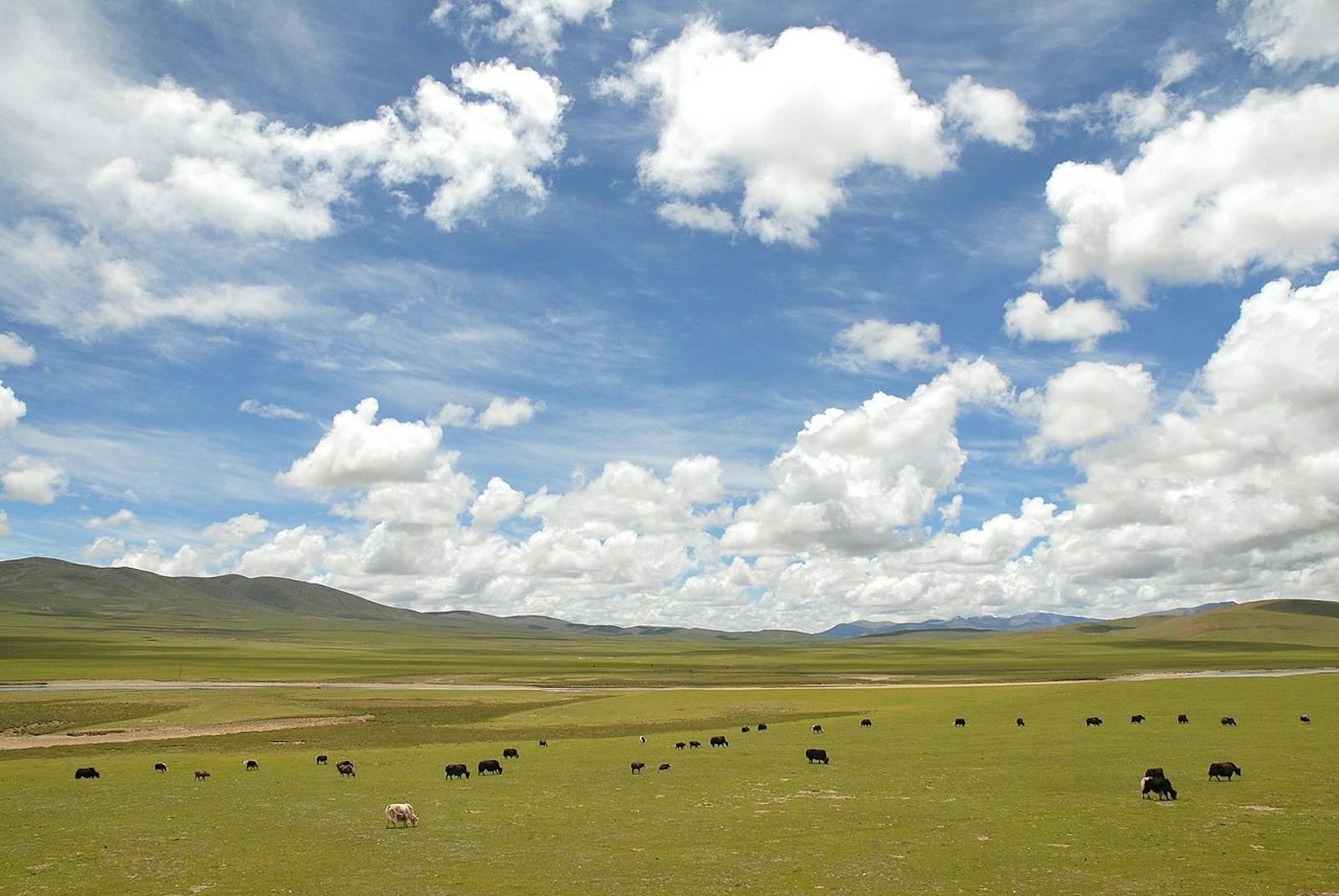
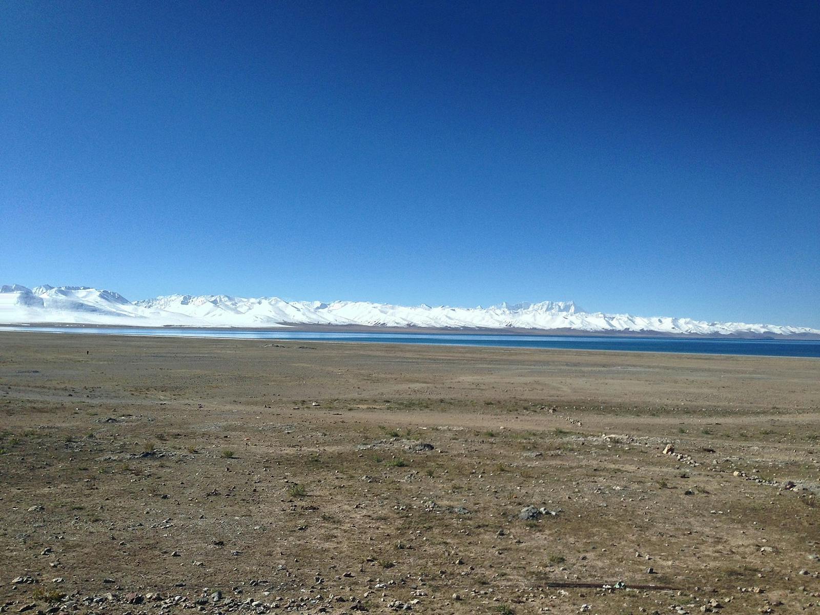
Alpine shrublands and meadows extend 1,500 km across the central part of the Tibetan Plateau from the Tsangpo river valley near Lhasa to the Qilian Mountains in the far northeast. Landscapes of this ecoregion traverse the headwaters of four of China’s largest rivers: broad basins at 4,000–4,500 m elevation are separated by mountains whose summits exceed 5,000 m. Unlike the enclosed basins further west, landscapes in most of this ecoregion drain to the sea, which allows erosion to generate topographic relief.
The boundaries of this ecoregion are defined by the 500 and 400 mm isohyets on a precipitation gradient that spans the entire Tibetan Plateau; therefore vegetation here is transitional from moist Kobresia sedge meadows in the southeast to alpine steppe in the northwest. Annual mean temperature is below freezing everywhere, and mean temperature during the warmest month of the year is only 8–10°C., not quite adequate to support forest. Westerly winds reinforce the continental climate and attenuate the South Asian summer monsoon.
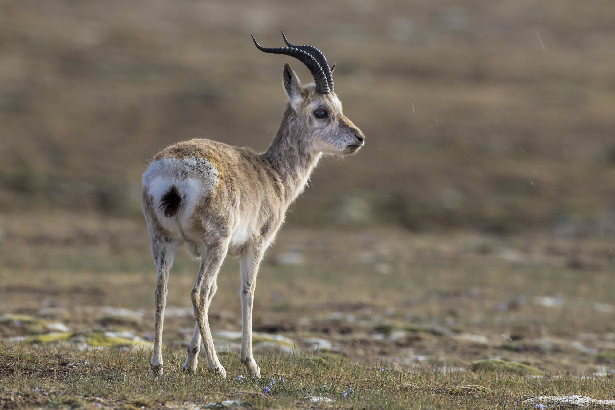
The flagship species of the Tibetan Plateau Alpine Shrublands and Meadows ecoregion is the Tibetan gazelle. Image credit: Wildscreen Exchange
As in southeastern Tibet, shrubberies and sedge meadows of Kobresia and Carex, with a rich admixture of alpine forbs, carpet a vast landscape. Slope aspect has a significant influence on the physiognomy of the alpine flora. South-facing slopes lack upright vegetation because they lose their snow cover quickly, even a couple of sunny days during winter will melt snow from a recent storm, and this exposes delicate renewal buds to frigid, desiccating winds and abrasive graupel-sleet.
South-facing slopes also get special attention from hungry livestock when soils warm in the spring. By contrast, snow-sheltered, north-facing sites may support evergreen shrubs such as juniper and scaly, aromatic dwarf rhododendron. Valley bottoms with stable, well-drained soils provide habitat for the widespread deciduous shrub Potentilla fruticosa, thorny, leguminous Caragana shrubs, and dwarf willow.
The northern part of this ecoregion lies within Sanjiangyuan (Three Rivers Source) National Nature Reserve, a unit that has been the focus of much ‘ecological and social engineering,’ subject to a startling degree of capital investment and government mandated resettlement, ostensibly for conservation purposes.
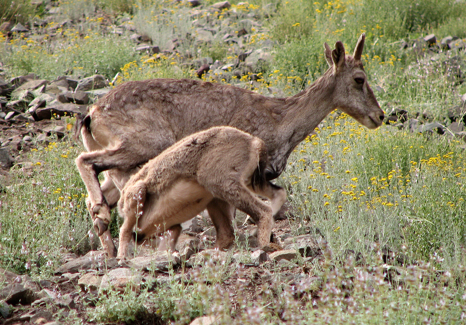
Bharal ladakh. Image credit: Creative Commons
Because this ecoregion has supported human pastoral activity for centuries—grazing of domestic yak, sheep, and horses—populations of large wild mammals are reduced. Even so, the Tibetan Plateau alpine shrublands and meadows support ungulates from both eastern and western Tibet: white-lipped deer, Tibetan wild ass, Tibetan gazelle, and blue sheep. Their predators, snow leopard, gray wolf, and brown bear, may occur as well, but data are lacking.
Grazed for centuries by domestic livestock, this relatively productive part of the Tibetan Plateau is now stocked more densely than it was prior to market reforms in the 1980s. It is obvious that alpine shrublands and meadow habitats have degenerated in some parts of Central Tibet in recent decades. However, it is difficult to gauge the ecological impact of livestock today relative to that of wild ungulates in years past. The transformation of rangeland into ‘black beach’ mineral soil and the proliferation of noxious weeds provide unambiguous signals of shrubland-meadow degradation.
It is less certain, however, that small, burrowing mammals contribute significantly to rangeland degradation, as has been asserted in the literature. Certainly, the effect of global warming and permafrost reduction, and the magnitude and drivers of ‘overgrazing’ of the steppe meadow ecosystem need to be more clearly elucidated.
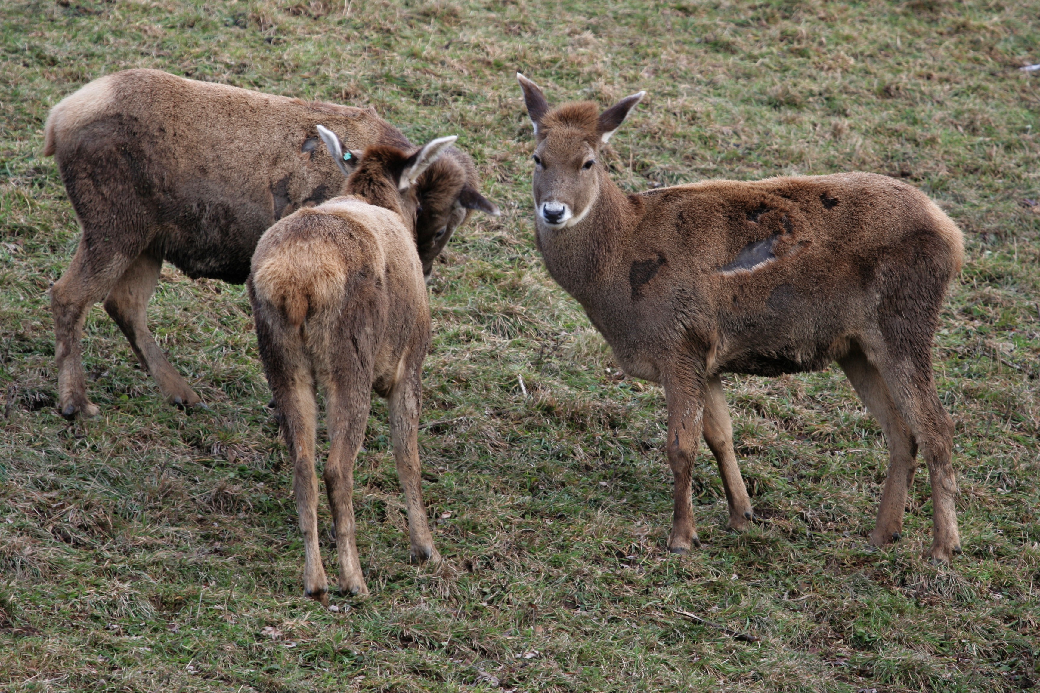
Thorold's deer. Image credit: Creative Commons
In addition, the collection of medicinal species, particularly Ophiocordyceps caterpillar fungus, presents a significant, yet poorly understood environmental impact. The Tibetan Railway corridor is a concern because it concentrates humans and their livestock at habitat-altering densities, potentially impedes wildlife migrations, and brings in garbage that cannot be disposed of easily on the plateau.
Priority conservation actions for the next decade are to: 1) develop more robust, evidence-based models of carrying-capacity for domestic livestock grazing; 2) develop models to predict the ecological consequences of climate change and permafrost reduction; and 3) to monitor and study the ecological impact of the caterpillar fungus harvest.
Citations
Carpenter, C. 2000. Eastern Asia: Central China. https://www.worldwildlife.org/ecoregions/pa1020. Accessed December 2018.
Harris R.B. 2010. Rangeland degradation on the Qinghai-Tibetan plateau: a review of the evidence of its magnitude and causes. Journal of Arid Environments 74(1): 1-12.
Wang Z., Song K., Hu L. 2010. China’s largest scale ecological migration in the three-river headwater region. Ambio 39(5-6): 443-6.
