Western Congolian Swamp Forests
The ecoregion’s land area is provided in units of 1,000 hectares. The protection goal is the Global Safety Net (GSN1) area for the given ecoregion. The protection level indicates the percentage of the GSN goal that is currently protected on a scale of 0-10.
Bioregion: Central Congolian Tropical Forests (AT14)
Realm: Afrotropics
Ecoregion Size (1000 ha):
12,892
Ecoregion ID:
29
Conservation Target:
90%
Protection Level:
6
States: Republic of Congo, Democratic Republic of Congo, and Central African Republic
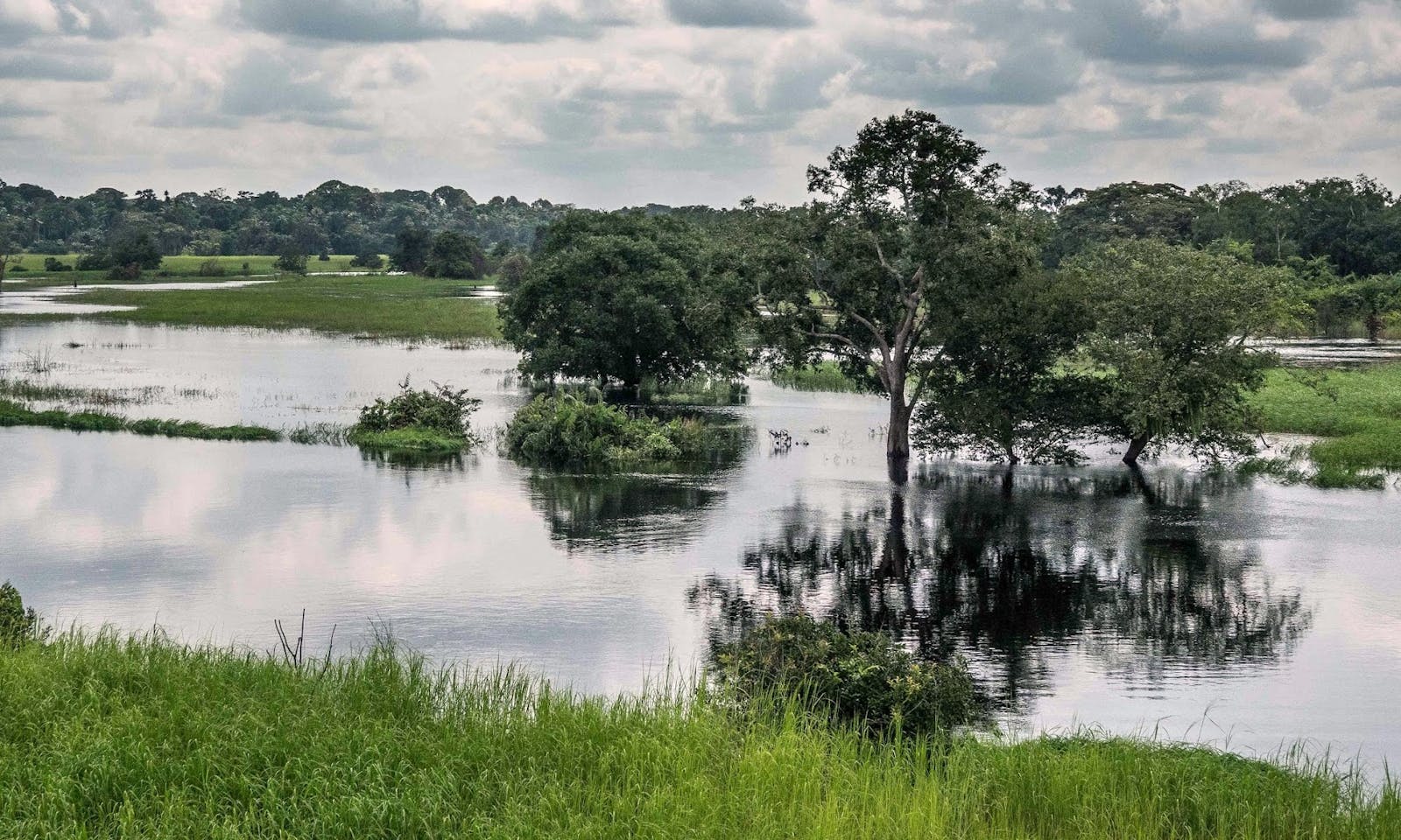
This ecoregion consists of dense swamp forests growing extensively along the meandering tributaries of the Congo River, providing one of the few remaining intact forest habitats in the region for important mammal populations, especially the African forest elephant, western lowland gorilla and chimpanzee.
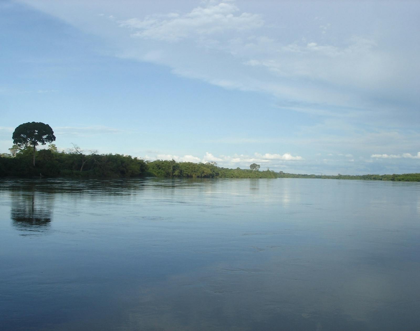
The swamp forests stretch from the eastern Republic of Congo through to the western portion of the Democratic Republic of Congo (DRC), and into the Central African Republic. This ecoregion lies on the western bank of the Congo River between the confluence of the Lualaba (Upper Congo) and the Lomami Rivers to the confluence of the Lefini and the Congo Rivers. The topography is predominantly a featureless alluvial plain at an altitude of 380–450 m.
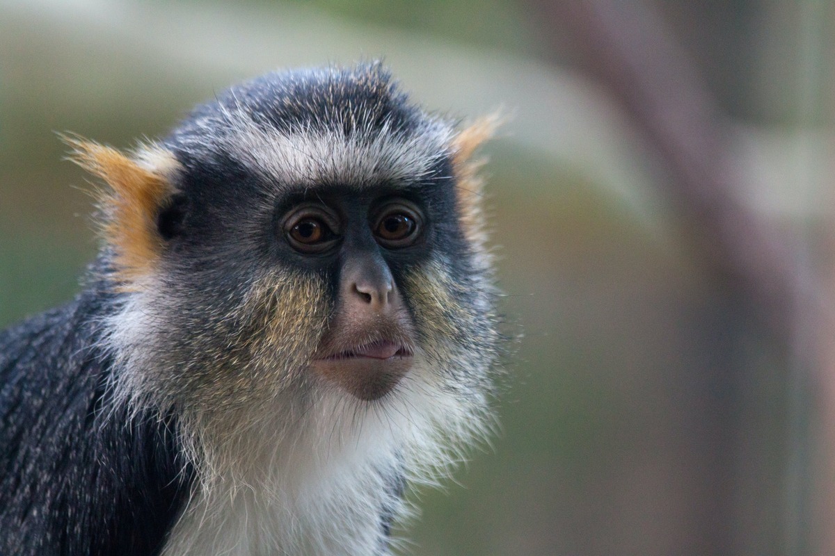
The flagship species of the Western Congolian Swamp Forest ecoregion is the wolf’s guenon. Image credit: Creative Commons
During an ancient, arid climatic crisis about 2,500 years ago the forests to the north and east became highly fragmented and were replaced by drier vegetation, whereas the forests in this ecoregion remained intact as it was part of the “fluvial refuge”. This area falls within the wet tropics with mean annual rainfall around 1,800 mm per annum. Mean maximum temperatures are around 30°C, and mean minimum temperatures are between 21–24°C. There is little seasonality, and humidity is normally high.
In the wet season, the swamp forests are flooded to a depth of 0.5 to 1.0 m; during the dry season they may not support any standing water. The soils of the ecoregion are classified as gleysols, due to regular periods of waterlogging. This ecoregion is part of the Cuvette Centrale depression where extensive peat deposits, storing approximately 30.6 petagrams of carbon, have been found beneath the swamp forests.
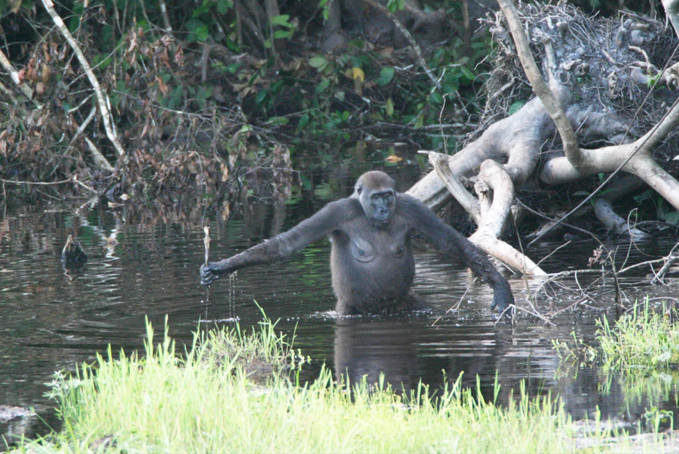
Western lowland gorilla. Image credit: Creative Commons
The swamp forests in this ecoregion grow extensively along the meandering tributaries to the Congo River, with dominant species such as Guibourtia demeusei, Mitragyna spp., Symphonia globulifera, Entandrophragma palustre, Uapaca heudelotii, Sterculia subviolacea, and Alstonia congensis. Permanently flooded swamp region host almost monospecific stands of Raphia palm, while levee forests occur on higher ground with Gilbertiodendron dewevrei as the dominant species.
This ecoregion supports low levels of species richness and endemism. Large numbers of forest buffalo used to occur, although most have been hunted out. Similarly, forest elephant populations have also seen a dramatic decline. This ecoregion is separated from the Eastern Congolian Swamp Forests by the Congo River, which forms an important biogeographical boundary.
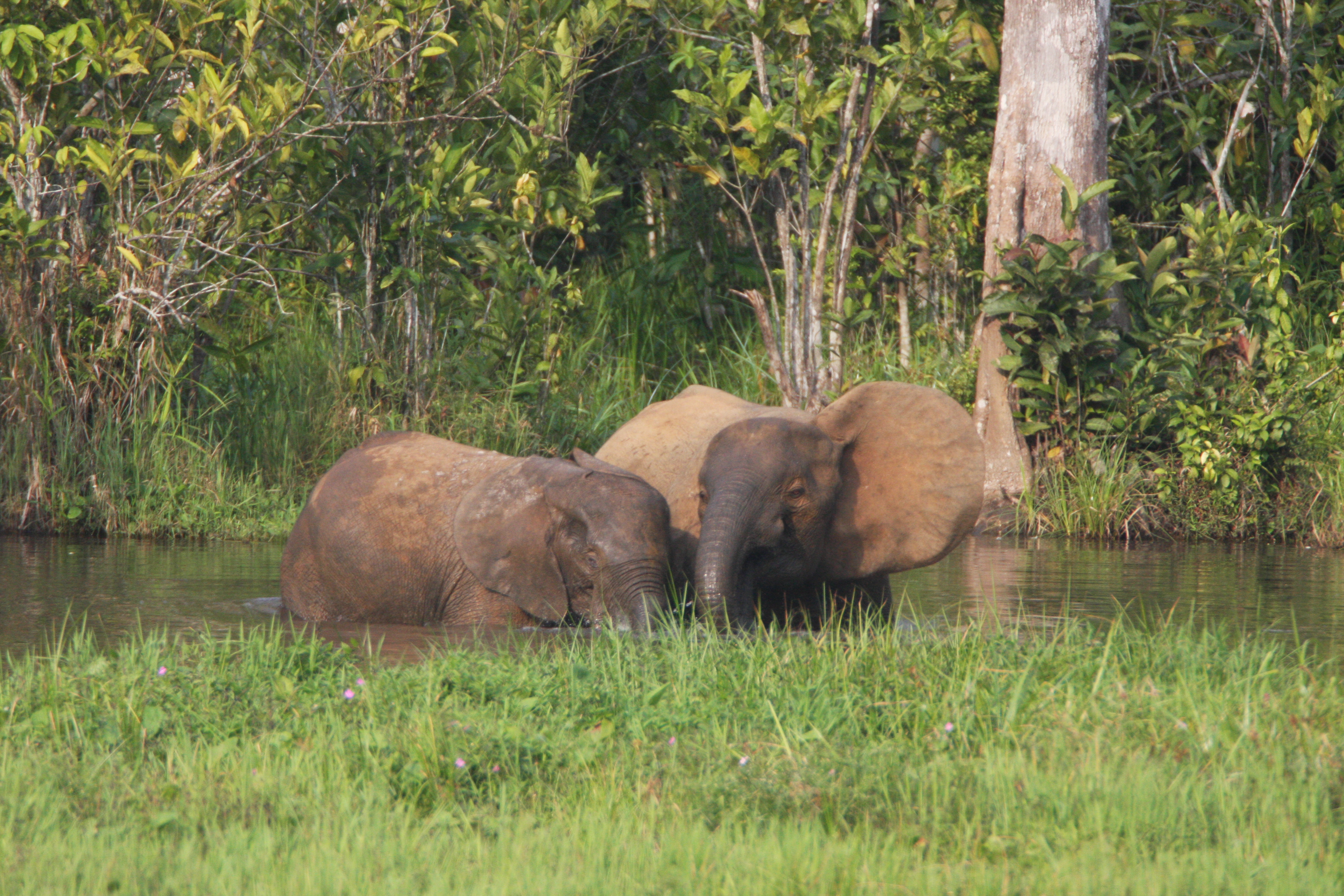
Forest elephants. Image credit: UFSWS, Creative Commons
For example, chimpanzee and Western lowland gorilla are only present on the right bank of the Congo, and the bonobo, Wolf’s guenon, and golden-bellied mangabey are only present on the left bank. Other species only found on the right bank include the crowned guenon, moustached guenon, and Guereza lowland colobus. There is a low rate of species richness and endemism in other vertebrate groups. There are two near-endemic bird species: the African river-martin and the Congo martin.
Together, the Eastern and Western Congolian Swamp Forest ecoregions contain approximately 124,000 km2 of swamp forests. The remote and difficult forests make many human activities problematic, and habitats remain largely intact. The ecoregion contains a large Ramsar site (4,390 km2) in the Republic of Congo—Lac Télé Community Reserve, established in 2001. The reserve is located along the River Likouala-aux-herbes and four of its major tributaries, as well as Lac Télé, which is the home of the mythical giant dinosaur-like animal called Mokele Mbembe. Other areas of the forest are protected in the Ntokou-Pikounda National Park, Ngiri nature reserve, and Ngiri-Tumba-Maindombe Ramsar Site.
_CC-Bernard%20Dupont-2008.jpg)
Eastern chimpanzee. Image credit: Bernard Dupont, Creative Commons
The main threat to larger mammals, particularly elephants, is from hunting and poaching. Across the ecoregion, the numbers of roads have increased, facilitating hunting in areas that were once inaccessible. For example, along the northern and north-western border of the Lac Télé-Likouala-aux-Herbes Community Reserve a road has been planned for transportation of wood from a logging concession located just outside the reserve. The logging concessions are also a threat to habitats in the Congo and DRC.
The priority conservation actions for the next decade will be to: 1) continue surveying and monitoring large mammal and fish populations; 2) collaborate with the military to improve the enforcement of illegal hunting through patrols; and 3) expand the boundary limits of Lac Télé Community Reserve to take into consideration the different yearly habitat requirements of the lowland gorilla and other species.
Citations
1. Dargie, G.C., Lewis, S.L., Lawson, I.T., Mitchard, E.T., Page, S.E., Bocko, Y.E. and Ifo, S.A. 2017. Age, extent and carbon storage of the central Congo Basin peatland complex. Nature. 542, pp. 86-90.
2. Rainey, H.J., Iyenguet, F.C., Malanda, G.A.F., MadzokÉ, B., Dos Santos, D., Stokes, E.J., Maisels, F. and Strindberg, S. 2010. Survey of Raphia swamp forest, Republic of Congo, indicates high densities of Critically Endangered western lowland gorillas Gorilla gorilla gorilla. Oryx. 44(1), pp.124-132.
3. Yanggen, D., Angu, K. and Tchamou, N. (Eds). 2010. Landscape-scale conservation in the Congo Basin: Lessons learned from the Central African Regional Programme for the Environment (CARPE). Gland, Switzerland: IUCN.
